Interactive Mapping to support Three Rivers’ Local Plan
Requirement
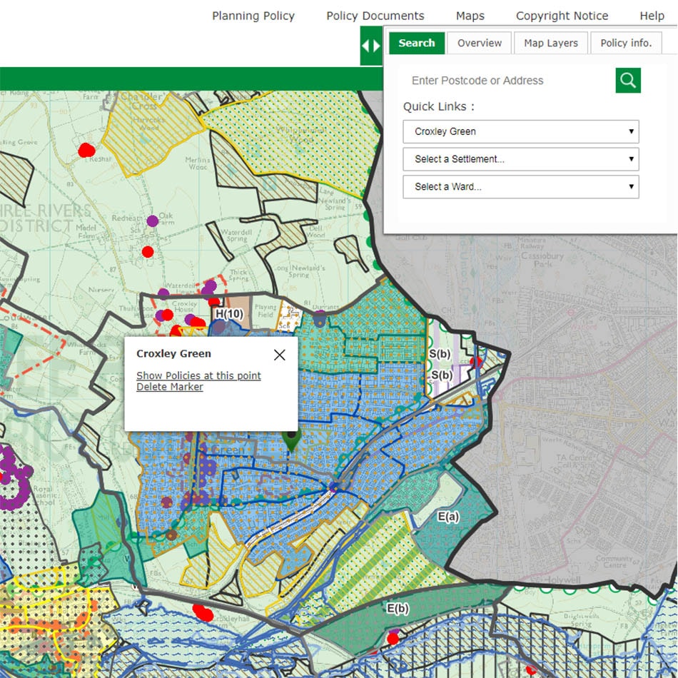
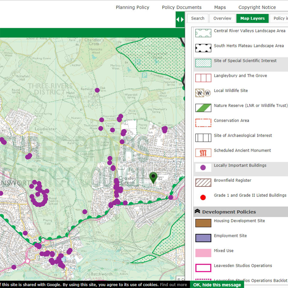
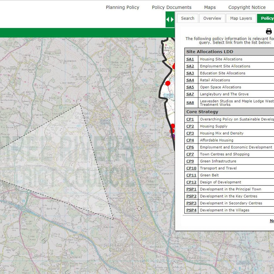
gi Perspective were commissioned to produce an interactive policies map to support the Three Rivers District Council’s 2014 Local Plan, allowing users to search for an address and find the relevant policies. All policies on the map are hyperlinked to their relevant document to allow users to read up on the Council’s Core Strategy, Development Management Policies, Site Allocations, Community Infrastructure Charging Schedule and Croxley Green Neighbourhood Plan Policies.
Solution
The interactive map has been produced using the latest Planvu Version 3. Planvu is gi Perspective’s user-friendly and interactive map experience, built for non-technical users, on open source software and accessed through standard web browsers. Version 3 launched in 2018 and provides users with responsive design for tablet and mobile use as well as increased speed of map information display. Other improvements in Version 3 include:
- Hiding the Legend Panel, so the map fills most of the window
- Restyled icons and buttons
- Autocomplete on searching
The solution is hosted and maintained by gi Perspective under a Service Level Agreement.
Result
The Three Rivers interactive online map can be accessed direct from the Council Planning Policy page .
Further reading
You may find the following blog articles helpful in understanding our interactive mapping solutions using planvu.
– 5 Things you can do with Planvu in 2 minutes
– 5 Examples of Intuitive Interactive Mapping


