Requirement
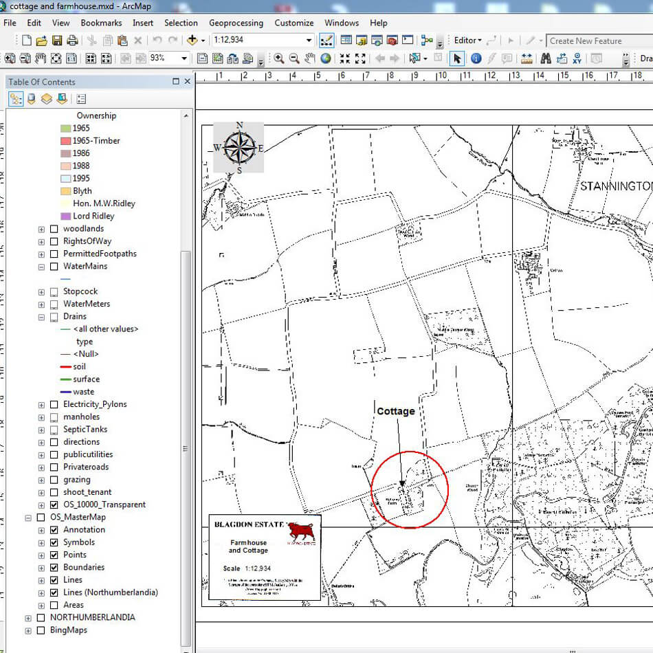
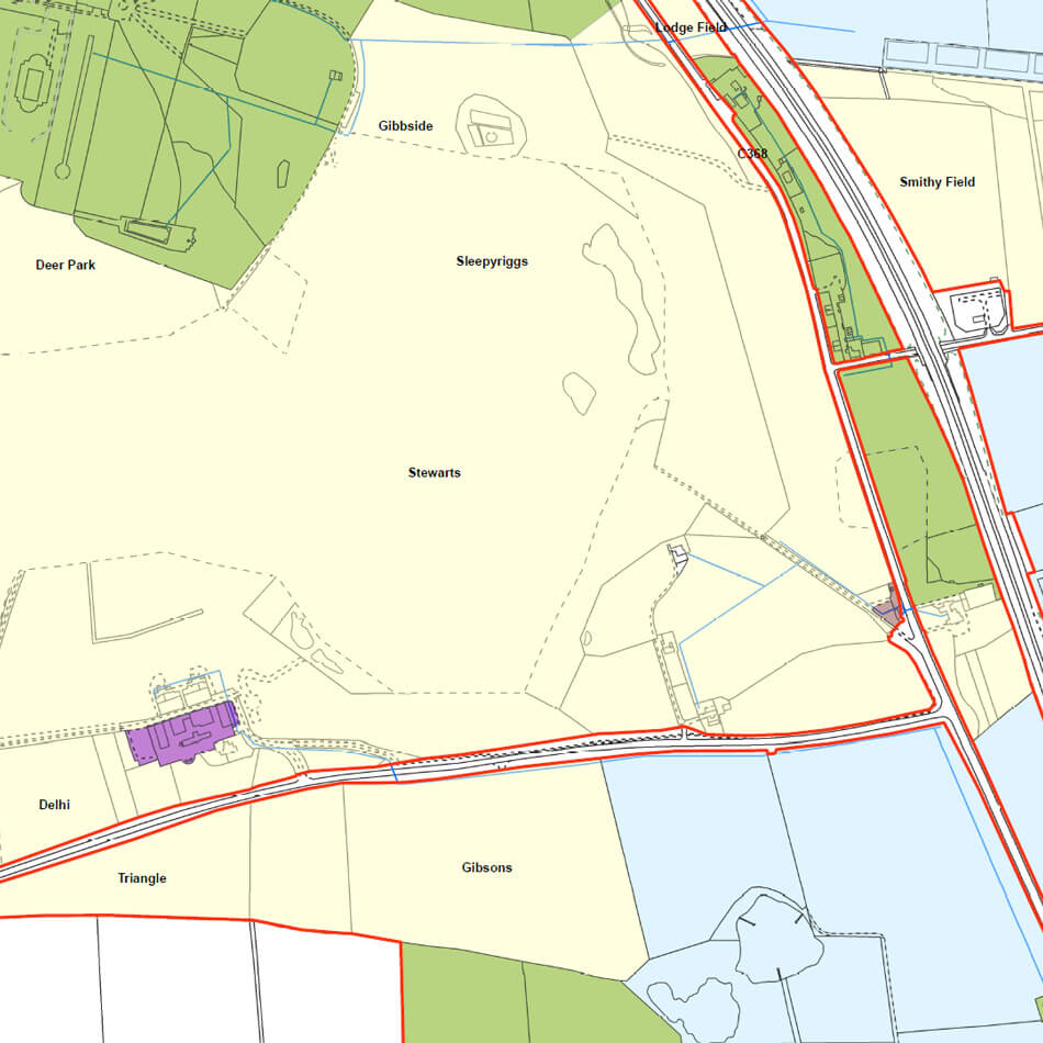
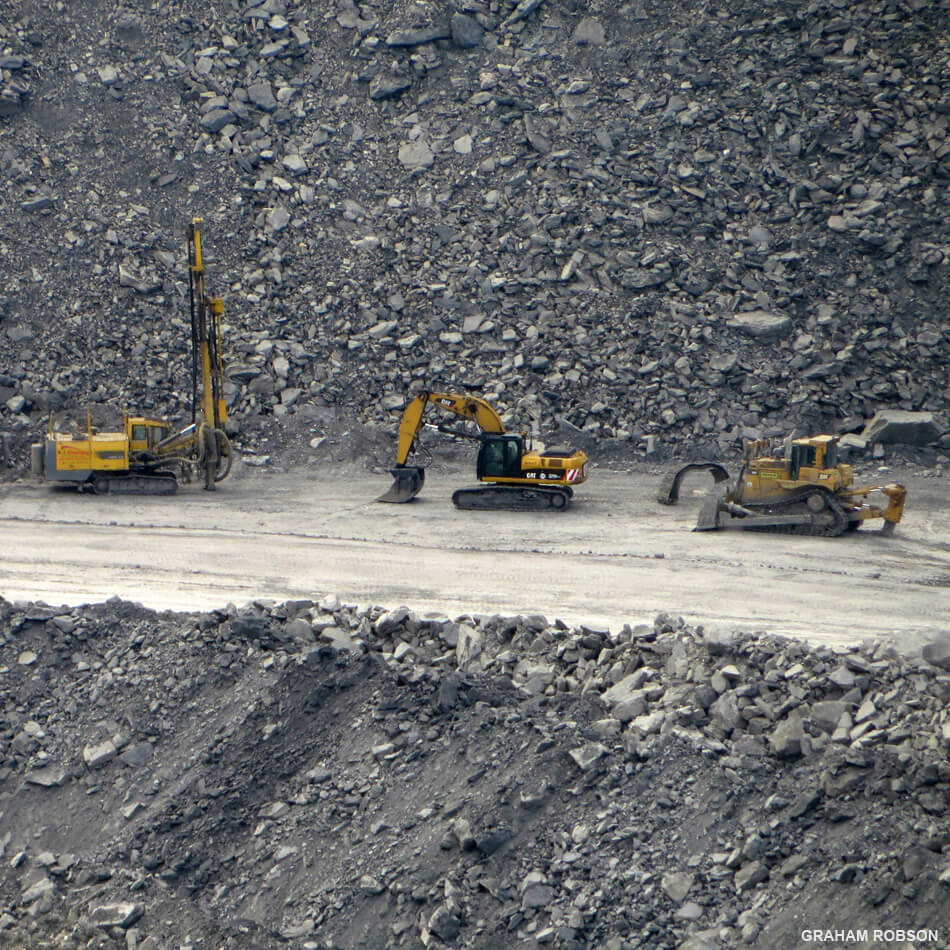
Blagdon Estate is a privately owned, rural property covering 13 square miles in south-east Northumberland, comprising of in-hand and tenanted farms, woodland, residential and commercial properties. Opencast coal mines also operate on the site.
Solution
We were asked to implement GIS into Blagdon Estate in order to improve the management of the estate. After a consultation period, we sourced GIS software from Esri and data from the Ordnance Survey. Bespoke training data was prepared before a four day on-site visit which included multiple installations of software, software registration, installation of data and training.
Result
Current uses of the GIS system include:
- Property and Ownership Management
- Tree and Footpath Management
- Utilities Management
- Creating custom maps for events and contractors
Bob Downer, CEO for Blagdon Estate commented “I have been amazed at the usefulness of the software, well exceeding my original expectations, I am a very strong advocate for the system for every country estate, I cannot imagine how we did without it now”.