Design and build of an Esri Mapping Application
Requirement
gi Perspective were commissioned to design and build a GIS Mapping Application for a UK company providing geological information and reports to the property sector. The client was already using GIS as part of a manual search process but were seeking to improve time and cost efficiencies by bringing in a level of automation through a custom ArcGIS application.
Our GIS Consultant visited the client to get an in-depth understanding of the current manual process and gather enough information to formulate a proposed solution.
Solution
A custom Add-In was built for use with Esri’s ArcGIS Pro using VB.NET and ArcGIS Pro SDK. The application:
- uses a form to collate basic search request information.
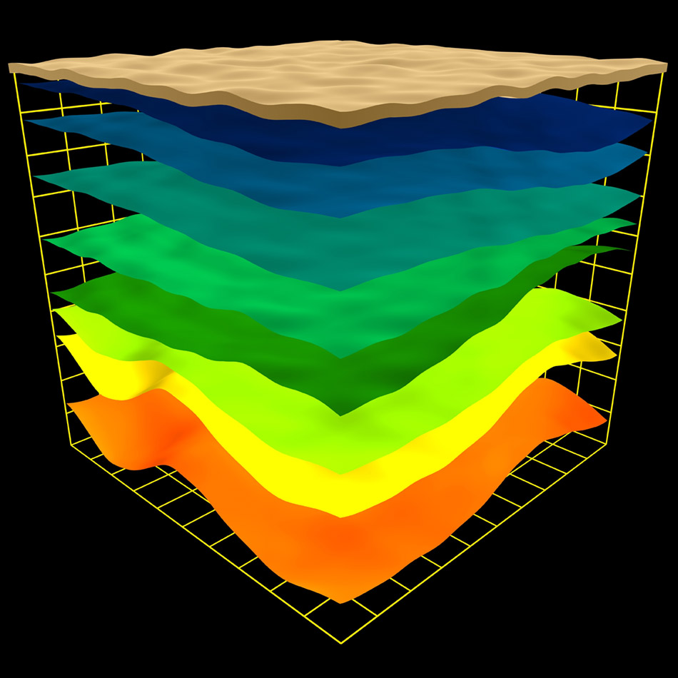
- analyses properties against geological datasets (licensed and opensource).
- uses complex 3D algorithms.
- prompts the user if any manual decisions or inputs are required.
- outputs a map and a detailed geological report for each property.
- is configured through an XML file.
Result
The client has significantly improved the speed in which searches are processed, without reducing the accuracy of their findings. As a result, the number of geological reports they will be able to deliver on an annual basis will increase considerably.
Image 1: Gorodenkoff/stock.adobe.com
Image 2: begiz/stock.adobe.com
Image 3: Ming/stock.adobe.com