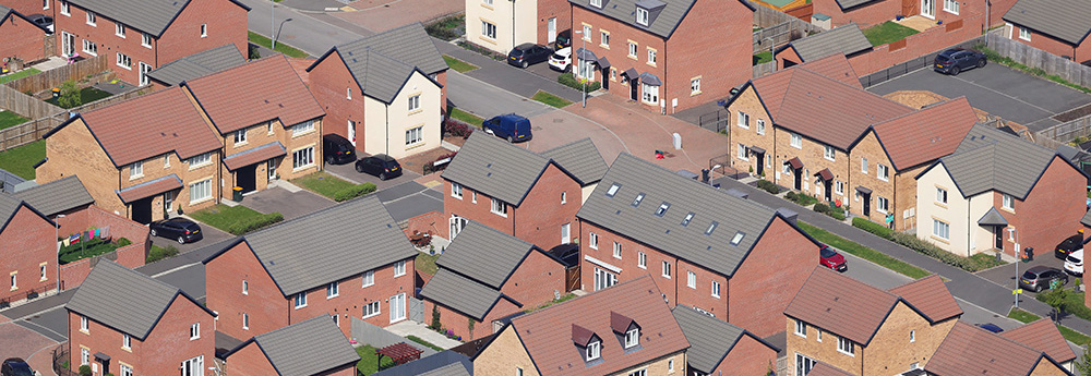
It’s crucial that Housing Associations create and maintain up-to-date spatial data of their housing stock and associated open spaces. Here are five ways in which Geographic Information Systems (GIS) and Interactive Maps can aid the day-to-day management of properties and help plan future developments.
Tom Falcon Harding/stock.adobe.com
1. Property Management
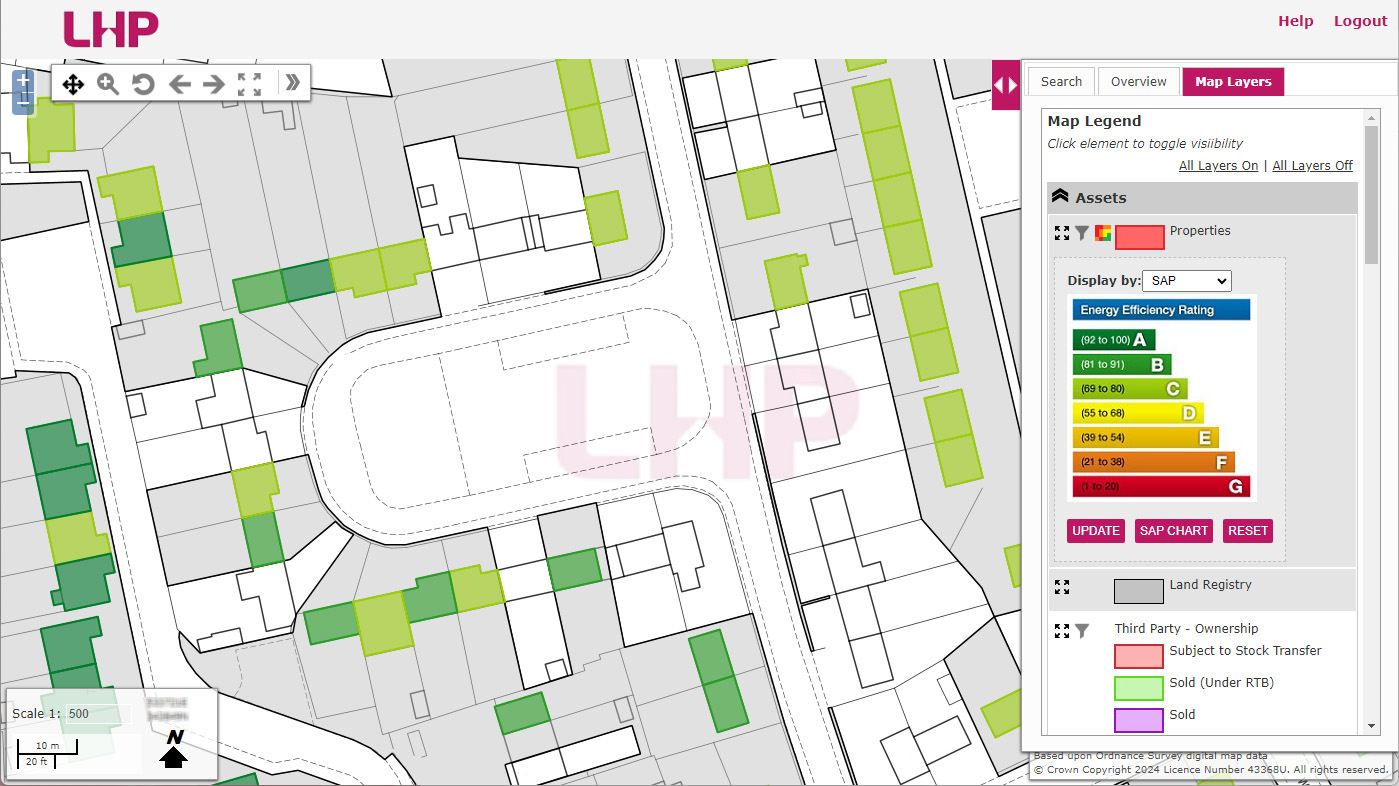
GIS plays a pivotal role in property management for housing associations. Interactive maps can serve as dynamic platforms for consolidating and visualising diverse property-related data, including ownership details, occupancy status, building condition and SAP rating.
By leveraging GIS, housing associations can access comprehensive property information in a user-friendly format, facilitating efficient decision-making and resource allocation. Interactive maps enhance collaboration among internal teams and external stakeholders by providing a shared platform for accessing and updating property data in real-time.
Moreover, they enable housing associations to streamline workflows, track property performance, and respond promptly to emerging needs or issues. Through the utilisation of GIS-based interactive maps, housing associations can improve transparency, communication, and operational effectiveness in managing their property portfolios.
Lincolnshire Housing Partnership utilises a GIS-based interactive map to manage their property stock
2. Managing Grounds Maintenance Contracts
Good grounds maintenance GIS data greatly aids housing associations in managing external contractors efficiently. Firstly, GIS data provides contractors with detailed information on property layouts, including the location of grass, hedges, shrub beds and hard surface areas, streamlining their understanding of the scope of work. This ensures clarity and reduces errors during maintenance tasks.
Secondly, GIS facilitates effective communication between housing associations and contractors by providing a centralised platform for sharing updates, documenting progress, and addressing any issues that arise. By leveraging GIS data, housing associations can optimise contractor management processes, improve service quality, and maintain well-kept outdoor spaces for their tenants.
3. Assessing Solar Potential
GIS assists housing associations in assessing solar potential by analysing spatial data on sunlight exposure, roof orientation, and shading. Using a GIS consultancy company, associations can gain access to solar potential maps that identify areas with optimal solar access for potential solar panel installations.
By overlaying data layers and considering factors like roof pitch and surrounding obstructions, GIS enables accurate estimation of solar energy generation potential for each property. This information helps housing associations prioritise properties for solar projects, optimise energy production, and make informed decisions to reduce carbon footprint and enhance sustainability in their housing portfolios.

heather/stock.adobe.com
4. Assessing Fuel Poverty
Housing associations can use GIS specialists to visualise fuel poverty by integrating spatial data on income levels, energy costs, and housing conditions. By overlaying these layers, GIS creates maps highlighting areas with high fuel poverty rates.
Housing associations can identify vulnerable communities and prioritise interventions such as energy efficiency upgrades or financial assistance programs. GIS visualisation enhances understanding of fuel poverty dynamics, aiding in strategic planning and resource allocation.
Additionally, GIS facilitates communication with stakeholders, raising awareness and fostering collaboration to address fuel poverty effectively within housing association portfolios and the broader community.
5. Development Planning
GIS can assist housing associations in planning new developments by analysing data on flooding, planning constraints, and available land. It overlays flood risk maps with planning regulations to identify suitable development areas. GIS incorporates topographical data to assess land suitability and constraints. By visualising these layers, housing associations can make informed decisions, minimising flood risks, adhering to regulations, and optimising land use.
GIS facilitates collaboration among stakeholders, integrating community feedback and ensuring sustainable development practices. Through GIS, housing associations can create resilient, compliant, and inclusive new developments that meet the needs of both residents and the environment.
teamjackson/stock.adobe.com
Comments are closed here.