Requirement
Lincolnshire Housing Partnership own and manage 12,700 homes across East Lincolnshire, as well as the relevant grassed open areas, footpaths and car parks.
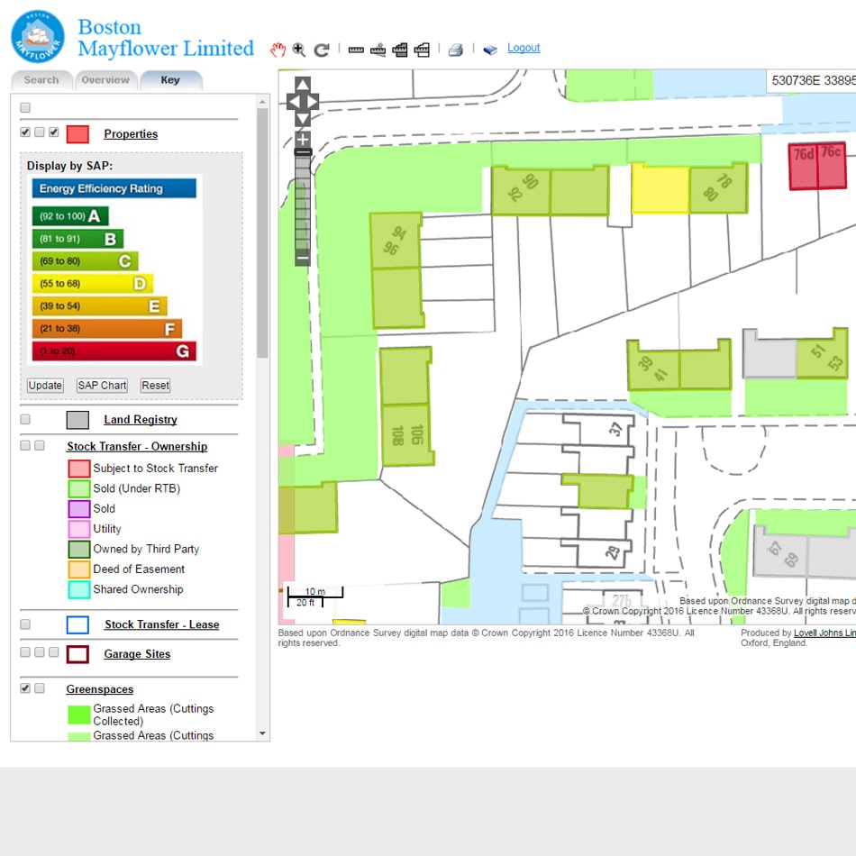
We were approached as part of a formal tender procedure to bid for the supply, maintenance and hosting of a web GIS system that would include appropriate Ordnance Survey base data including MasterMap Topography Layer and Address Layer 2. With outdated ownership boundaries marked on paper maps, LHP were seeking mapping software to help manage communal areas and produce detailed, accurate information for tenants receiving service charges as well as improving efficiency of future procurement processes.
Solution
Following a presentation of our Web-based GIS for Housing Management solution, we were awarded 5 year fixed price contract for services including:
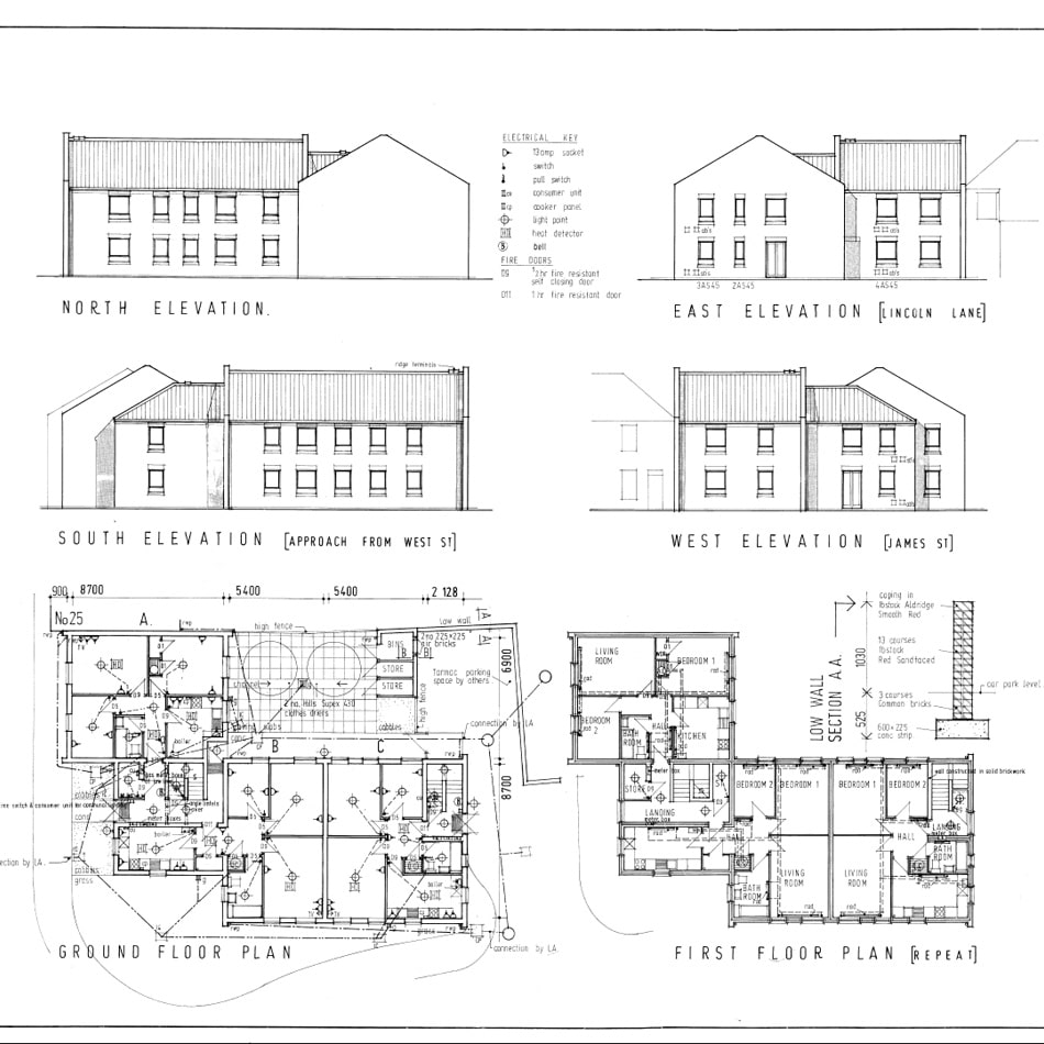
- Scanning of 5000 paper maps & records
- Digitisation of 500 scanned maps
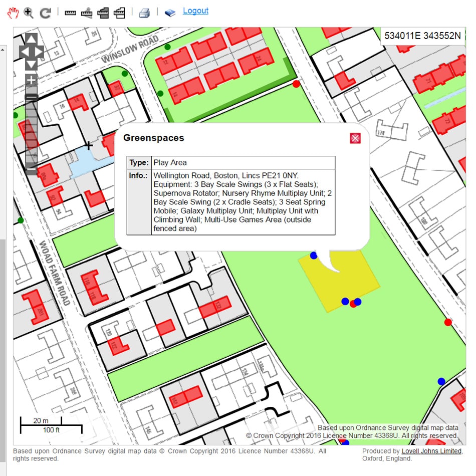
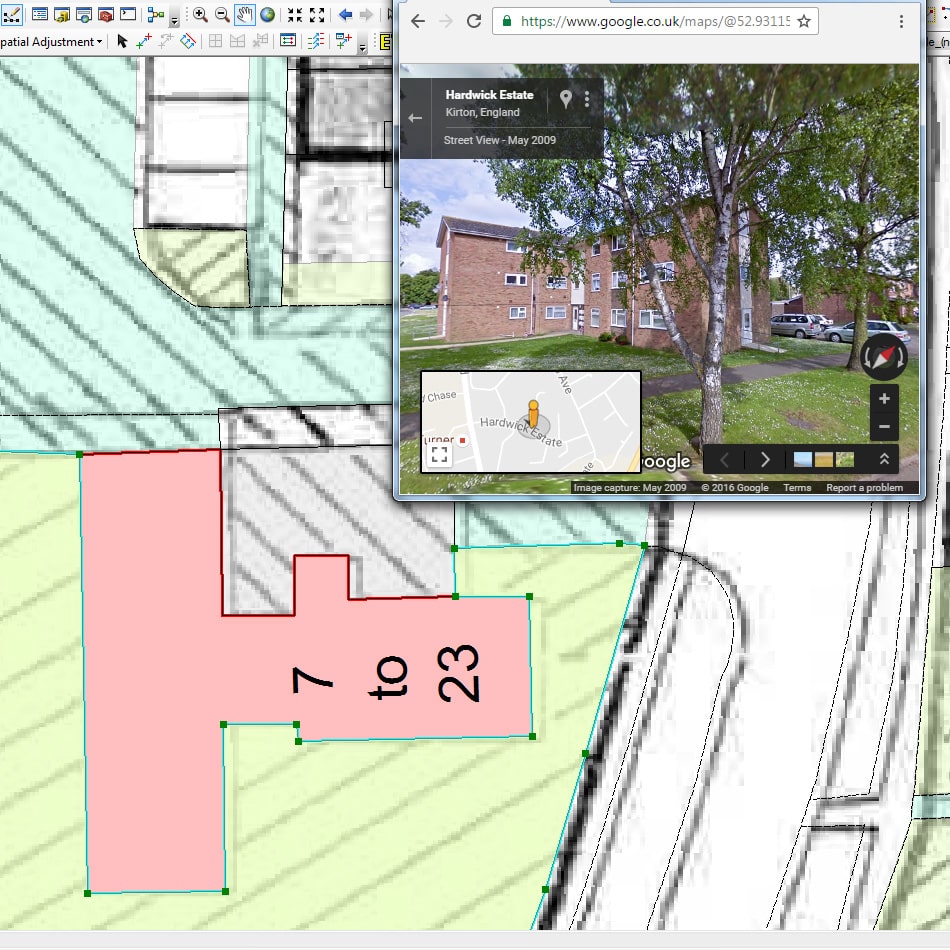
- Mapping of assets from imagery and ground research
- GIS dataset creation based on Ordnance Survey data
- Import of property and tenant specific information
- Ground research verification
- Land registry comparison and reporting
- Development of bespoke Web GIS application based on Open Source technology
Result
The above services, including the delivery of the web GIS release version software, were provided in under 4 months from contract signing. The initial 5 year contract has been extended.
Martin Woods, LHP Head of Asset Management, commented: ”We have worked with Lovell Johns who have provided our GIS mapping service for over 6 years now. As part of the appointment they took our paper asset plans and Grounds maintenance plans and mapped them into a GIS systems and verified them against Land Registry Records. We have always found the information and service provided by them to be reliable and high quality. They are a very professional firm who have actively engaged with us and developed our mapping system to improve our business processes. I would certainly use them again”.