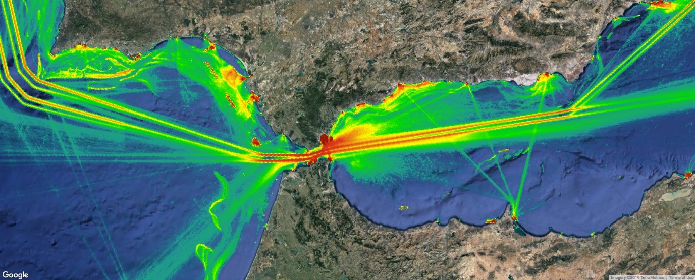
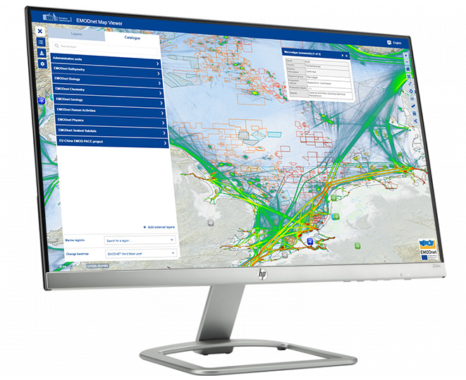
Web Map Services (WMS) offer numerous advantages in GIS applications, revolutionising the way geographic information is accessed, visualised, and shared. Here are five key advantages:
1. Interoperability
WMS adheres to open standards established by the Open Geospatial Consortium (OGC), ensuring compatibility across different GIS software and platforms. This interoperability allows users to seamlessly integrate map layers from various sources, regardless of the software they are using. Whether it’s satellite imagery, topographic maps, or thematic layers, WMS enables users to overlay and compare diverse datasets, facilitating comprehensive spatial analyses and informed decision-making.
2. Customisation
WMS empowers users to customise the appearance and content of map layers to suit their specific needs and preferences. Users can adjust parameters such as symbology, transparency, and labelling to create visually compelling and informative maps. This customisation capability enables users to tailor map visualisations to their audience and effectively communicate spatial information. Additionally, WMS supports dynamic styling, allowing users to modify map layers in real-time based on user interactions or changing conditions, enhancing the flexibility and interactivity of GIS applications.
3. Efficiency
WMS optimises bandwidth usage and improves performance by transmitting only the map images that are requested by the client. Instead of transferring entire datasets, WMS sends pre-rendered map tiles or images in the desired format (e.g., PNG, JPEG), reducing data transfer times and minimising network congestion. This efficiency makes WMS suitable for delivering maps over low-bandwidth connections or to a large number of concurrent users, ensuring fast and responsive map viewing experiences.
4. Scalability
WMS is highly scalable and capable of handling large volumes of map requests from multiple users simultaneously. By leveraging caching mechanisms and distributed server architectures, WMS can efficiently serve map tiles or images to users worldwide, even during periods of high demand. This scalability ensures reliable performance and responsiveness, making WMS suitable for applications ranging from small-scale websites to enterprise-level GIS systems.
5. Versatility
WMS supports a wide range of spatial data formats and projections, enabling users to access and visualise diverse types of geographic data. Whether it’s raster imagery, vector datasets, or dynamic data sources, WMS can accommodate various data formats and display them in a unified map interface. This versatility allows users to integrate multiple datasets seamlessly and conduct comprehensive spatial analyses within their GIS applications, unlocking new insights and opportunities for innovation.
In summary, Web Map Services (WMS) offer several advantages in GIS, including interoperability, customisation, efficiency, scalability, and versatility. These advantages empower users to access, visualise, and analyse geospatial data more effectively, driving informed decision-making and facilitating collaboration across diverse domains and industries.
Blog
Comments are closed here.