Public transport plays an important part in the economy, traffic congestion and climate change. 58% of all public transport journeys in Great Britain in 2019 were by bus. The Covid-19 pandemic threw the bus industry into turmoil, making it unsustainable almost overnight. Buses have been running at reduced levels during the pandemic; however bus travel is now starting the slow return towards pre-pandemic levels, with London bus travel levels now at 50% of levels before March 2020, and Newcastle at 45%.
Covid-19 is likely to change bus travel patterns in the longer term. Bus usage for shoppers or those in education are likely to recover quickly, but the expected increase in working from home could see more permanent changes, including de-urbanisation.
The Local Government Association commissioned research to initiate a debate on the future of public transport in England, outside of London, with a focus on local bus services. It stated that the public transport recovery “cannot simply be an attempt to rebuild what has gone before” and states a number of ambitions such as providing longer term stability and predictability, supporting bus service viability and the rollout of clean bus fleets.
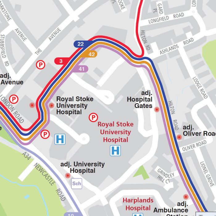
In short, bus services are due to change more rapidly than they did before the pandemic. It’s important to convey this changing information to passengers. One effective way to do this is through an interactive map. Online bus maps allow passengers to seek the latest bus route information. Functionally can include:
- Navigating around an interactive map to see available bus routes from different operators and toggling routes on and off.
- Clicking on a bus route to link to the latest timetable information.
- Clicking on a bus stop to see next available buses using real-time UK Government information.
- Finding the quickest walking route to a bus stop.
- Finding nearby points of interest such as train stations and shops.

Of course, buses aren’t the only form of environmentally friendly transport, and interactive bus maps can be easily expanded to be multi-modal and include scenic walks, cycle lanes and train stations.
Being online, interactive maps can also be easily updated when there are temporary changes such as road works or trial pedestrian schemes as we have seen throughout the Covid-19 pandemic.
Bus travel is due to see some significant changes over the next few months and years. Interactive bus maps are vital to keep passengers up to date with the pace of the recovery and the rebuilding of the industry for the longer term.
Comments are closed here.