Geographic Information Systems (GIS) can play a crucial role in the health industry by providing spatial analysis, visualisation, and decision support. Here are five ways GIS can help the health industry:
1. Healthcare Facility Planning and Optimisation

Maneerat/stock.adobe.com
GIS and interactive maps streamline healthcare facility planning by analysing demographic data, population distribution, and existing healthcare infrastructure to identify underserved areas. Planners can visualise potential facility locations, assess accessibility, and optimise distribution using spatial analysis tools. Interactive maps enhance stakeholder engagement by providing intuitive visualisations for collaborative decision-making. By leveraging these technologies, healthcare planners can strategically allocate resources to maximise coverage, minimise disparities, and improve access to healthcare services for communities.
2. Disease Mapping and Surveillance
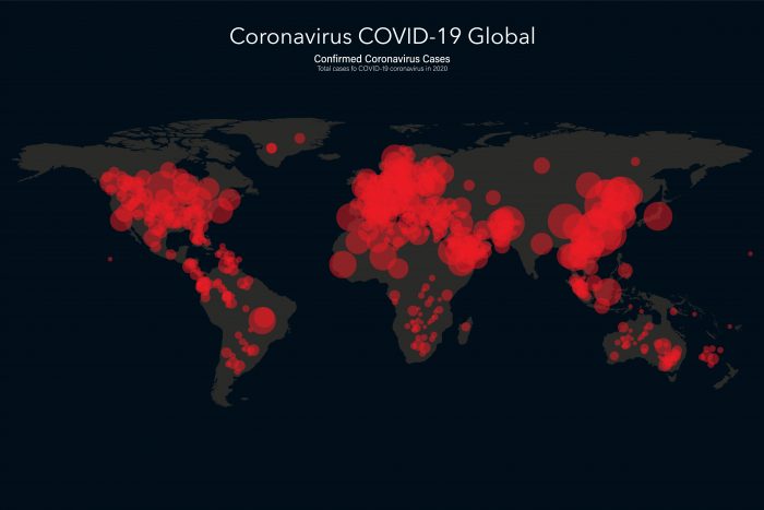
GIS plays a crucial role in disease mapping and surveillance, demonstrated during the COVID-19 pandemic. These technologies enable the visualisation and analysis of epidemiological data, such as confirmed cases, deaths, and transmission patterns. By overlaying this information with geographic data, such as population density, demographics, and mobility patterns, GIS helps identify disease hotspots, track transmission routes, and predict future outbreaks.
Interactive maps provide intuitive visualisations that allow health authorities and policymakers to monitor the spread of diseases in real-time, implement targeted interventions, and allocate resources effectively. Moreover, GIS facilitates the integration of data from various sources, including clinical, environmental, and socio-economic factors, to provide comprehensive insights into disease dynamics.
ImagineDesign/stock.adobe.com
Through the integration of GIS, health authorities can make informed decisions to mitigate the spread of diseases, allocate healthcare resources efficiently, and protect public health effectively.
3. Public Health Policy and Planning
GIS assists public health policy and planning by analysing spatial data on disease prevalence, environmental factors, and population demographics. It helps policymakers identify areas with health disparities, target interventions effectively, and allocate resources efficiently. By integrating diverse datasets and providing visualisations, GIS enables evidence-based decision-making to address public health challenges and improve overall population health outcomes.
4. Environmental Health Assessment
GIS aids environmental health assessment by mapping and analysing spatial data on pollutants, sources of contamination, and vulnerable populations. It enables the identification of areas with environmental hazards and assesses their potential impact on public health. GIS supports the visualisation of exposure pathways and facilitates the integration of diverse datasets for comprehensive analysis. By providing spatial insights, GIS informs decision-makers about environmental health risks, guiding the development of policies and interventions to safeguard public health and promote environmental sustainability.

reewungjunerr/stock.adobe.com
5. Emergency Response
GIS plays a critical role in emergency response by providing real-time spatial data visualisation, analysis, and decision support. For instance, during natural disasters like hurricanes or earthquakes, GIS helps emergency responders coordinate rescue efforts, identify evacuation routes, and allocate resources efficiently based on the affected areas’ spatial extent and population density.
OpenStreetMap (OSM) is an excellent example of how GIS can aid emergency response. In the aftermath of disasters, volunteers around the world contribute to updating OSM with critical information such as road closures, damaged infrastructure, and temporary shelters. This crowdsourced mapping data can be integrated into GIS platforms to provide up-to-date situational awareness for responders, enabling them to make informed decisions and prioritise their actions effectively in rapidly evolving emergency situations. Overall, GIS, along with platforms like OSM, enhances emergency response capabilities by leveraging spatial data for better coordination and resource management.
Comments are closed here.