 October 4th 2023
James Heming/stock.adobe.com
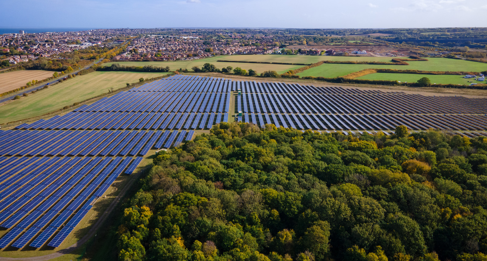
As solar technology gets more efficient and the drive towards net zero increases, there is a growing need to identify suitable solar farm sites. Although much mapping information and satellite imagery is easily accessible online to allow someone to prospect for potentially suitable locations, Geographic Information Systems (GIS) play an important role in identifying and reviewing the suitability of such sites using more in-depth spatial analysis. Here are five ways in which GIS can help assess the suitability of solar farm sites…
1. Solar resource
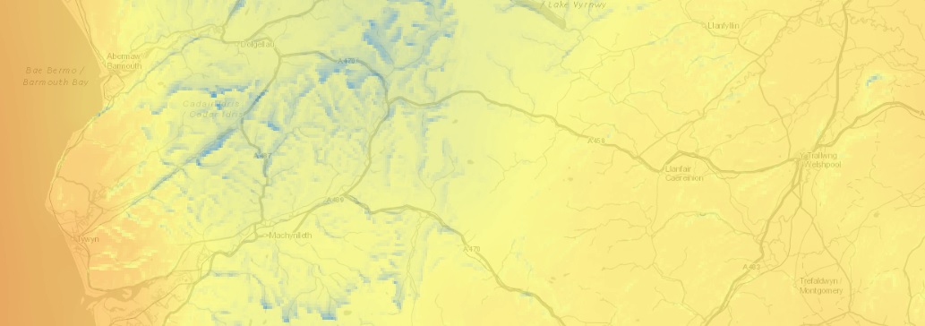
Solar irradiance maps show the availability and intensity of sunlight in specific geographic areas and allow developers to identify areas with the highest solar energy potential. Solar irradiance GIS datasets can be interrogated to get specific values for a location. This information helps in estimating energy output and determining the viability of solar projects.
2. Environmental impact
When it comes to planning and environmental protection, there are a multitude of statutory and non-statutory designations to consider. These range from large areas where planning is more restricted, such as Area of Outstanding Natural Beauty (AONB) and Heritage Coasts, to more localised features that can affect the suitability of sites, like listed buildings and ancient woodland. Much of this data is freely available and can be brought into GIS software for use in spatial analysis for cross-referencing with other spatial datasets.
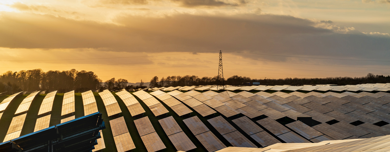
3. Energy Grid Connection
Neil/stock.adobe.com
Proximity to the energy grid is another major factor. Solar farms need to connect to the grid to distribute generated electricity and their proximity to the grid is crucial to its impact on cost, efficiency and reliability. Some free energy network GIS data can be collated from open sources by GIS consultants and used directly for analysis. Other GIS data from the Ordnance Survey, together with satellite imagery, can be used to review possible barriers to the energy infrastructure, such as streams and woodland, and therefore help indicate the cost of implementation.
4. Proximity to settlements and roads
Solar farms should be sited where they have minimal visual impact. At the same time, proximity to roads can simplify the transportation of construction materials and equipment during the installation phase and for ongoing maintenance and so connectivity is also a consideration. The availability of free GIS data representing built-up-areas and roads means that it is easy to quickly rule-out areas that are too far from the road network, or too close to settlements.
5. Topography and visual impact
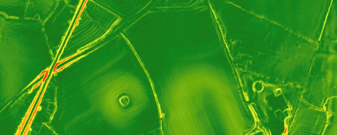
The 3D capability of GIS can be utilised to assess local slope and direction using Digital Elevation Models (DEMs). Furthermore, viewshed analysis allows the specific visual impact of a site to be reviewed, which can even consider above surface features such as buildings and woodland by using LiDAR data.
Comments are closed here.