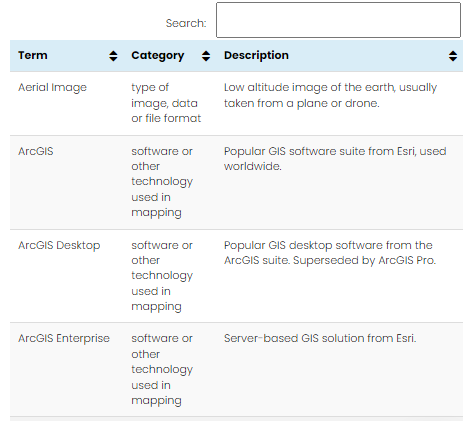
We understand there is a lot of terminology around the use of Geographic Information Systems (GIS) so have put together a handy technical glossary which has a short description for the most common terms and abbreviations.
Each term is categorised, and some link to further information and images. Be sure to bookmark the glossary for reference as we’ll regularly update it.
So, if you don’t know your datum from your dangle node, here’s the place to start!
Comments are closed here.