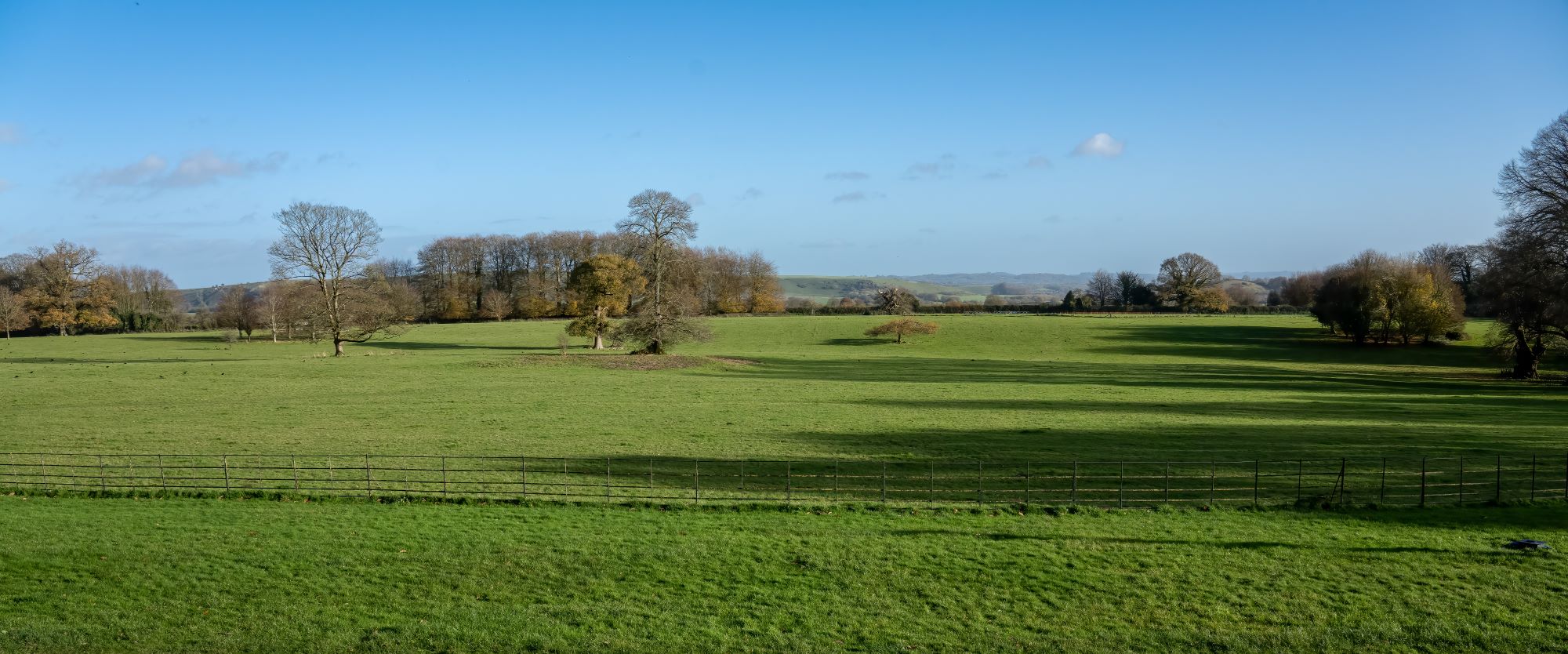
Managing rural estates is inherently complex due to extensive land areas, varied land uses, infrastructure networks, and regulatory demands. GIS (Geographic Information System) serves as an invaluable tool to simplify these challenges. It aids in precise property mapping, utility network management, and land use planning, streamlining decision-making and resource allocation.

John Gilham/stock.adobe.com
GIS also enhances infrastructure maintenance, supports sustainable practices, and ensures efficient event management through detailed mapping. It simplifies tracking and monitoring, making rural estate management more organized, data-driven, and responsive to evolving needs, ultimately improving the overall management and sustainability of rural estates.
Property and Ownership Management.
A mapping system plays a pivotal role in enhancing property and ownership management for rural estates. By providing accurate and up-to-date geospatial information, it enables estate owners and managers to efficiently monitor land holdings, delineate property boundaries, and maintain detailed records of land use. This technology aids in preventing disputes over land rights, simplifies the process of buying and selling property, and facilitates land taxation.
Additionally, it supports land conservation efforts, ensuring responsible stewardship of natural resources. Overall, a mapping system optimises estate management by offering clarity, transparency, and accountability in property ownership, contributing to sustainable rural development.
Tree and Footpath Management
GIS proves invaluable for tree and footpath management in rural estates. It can provide a comprehensive overview of the estate’s terrain, helping identify tree species, track growth, and assess their health. Footpath maintenance is simplified through precise mapping, ensuring safe and accessible routes for residents and visitors. Additionally, these systems aid in forest conservation by enabling targeted tree planting and preservation efforts.
Martin/stock.adobe.com
By facilitating data-driven decision-making, they contribute to environmental sustainability and optimized land use. Overall, mapping systems are essential tools for effectively managing trees and footpaths in rural estates, promoting both safety and conservation.
Utilities Management
Mapping systems are crucial for efficient utilities management in rural estates. They provide a comprehensive overview of utility infrastructure, including water supply, sewage systems, and electrical grids. This spatial data helps estate managers identify maintenance needs, plan upgrades, and respond swiftly to issues, ensuring uninterrupted service. Additionally, it aids in resource allocation, optimising utility efficiency and cost-effectiveness.
GIS can also enhance emergency response by pinpointing utility locations during crises. In rural estates, where infrastructure can be dispersed, these systems play a vital role in sustainable utility management, ensuring reliable services, cost savings, and improved disaster preparedness.
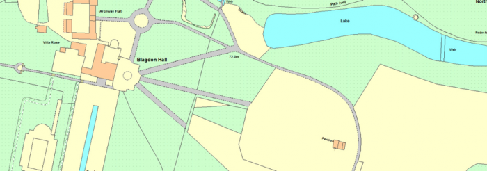
Maps for Contractors
GIS play a pivotal role in producing contractor maps for rural estates. They provide accurate geospatial data, allowing estate managers to create detailed maps for contractors. They can mark construction sites, road access points, utility connections, and more, streamlining project planning and execution. Contractors benefit from precise location information, reducing errors and project delays. Mapping technology aids in optimising resource allocation and tracking progress, ensuring efficient project management. It also enhances safety by highlighting potential hazards. In rural estates with vast, complex landscapes, mapping systems are invaluable for creating contractor maps, promoting effective and successful construction projects.
Creating Custom Maps for Events
Mapping systems are indispensable for creating event maps in rural estates. They provide accurate spatial data to plot event venues, parking areas, amenities, and emergency exits. This information is essential for event planning, ensuring efficient crowd management and a positive attendee experience. Maps can be customised to include temporary facilities like stages, toilets, and food stalls. Mapping technology enhances the overall event planning process, guaranteeing a seamless and well-organized experience in the unique and often expansive settings of rural estates.
GI Perspective has provided a number of different mapping systems and services to private estates, whether providing GIS software and training to an 8,000 acre rural estate, creating maps of mineral extraction rights or building a Biodiversity GIS dataset for a University Estate Department.
Comments are closed here.