Health data and spatial analysis
Requirement
NHS England commissioned an extensive health needs assessment of mental health crisis services in London. There was a particular need to understand the varying incidence of Section 136 detentions across the city, and how this related to the provision of crisis services and Emergency Departments.
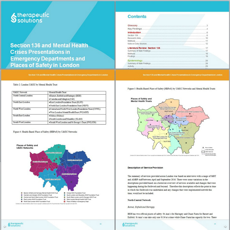
The research study was carried out by sector specialists Therapeutic Solutions (Addictions), who brought in our GIS consultants to provide enhanced spatial analysis and mapping visualisations.
Solution
A range of mapping solutions were required to support this varied project:
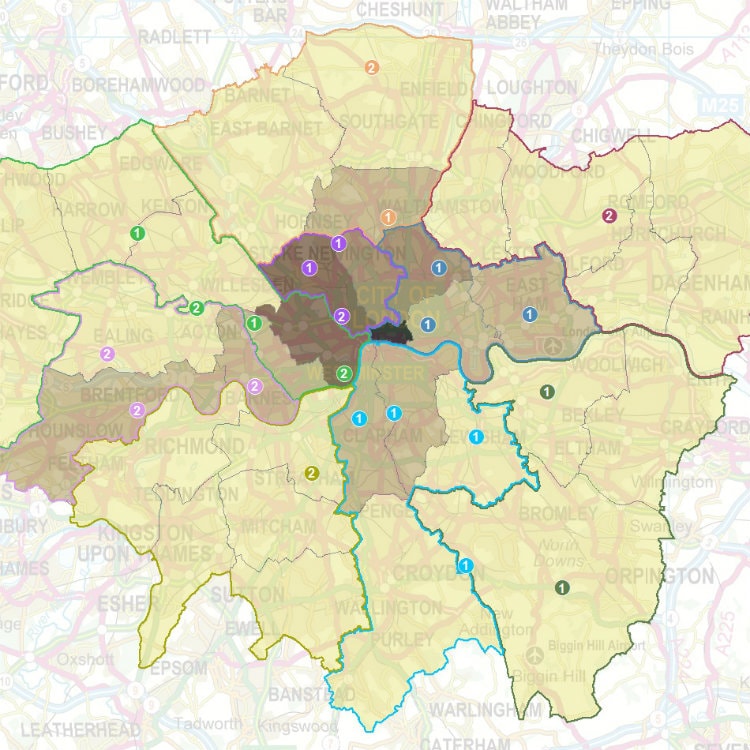
- Simple visualisation maps gave a clear overview of service locations and, more importantly, how capacity at these sites related to demand.
- A simple model of catchments was built, allowing the pressure on services to be quantified.
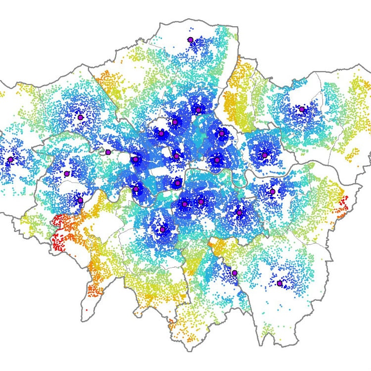
- Access to services could then be visualised as a distance-to-travel from each London neighbourhood.
- Choropleth maps were created to show the prevalence of outcomes and of suspected causal factors.
- Hot spot analysis was used to find out if there is statistically significant clustering in any parts of the city.
- Finally, a dataset of incident and assessment locations allowed journey patterns to be mapped.
Result
Therapeutic Solutions used the maps extensively in the final report as an effective and colourful way of sharing rich information.
The spatial analysis insights nicely complemented the findings from the qualitative interviews, epidemiological analysis, and other parts of the research.


