Visualising pipe geometries against OS MasterMap
Requirement
40Seven provide technical surveying solutions for Utilities, Civil Engineering, Transport and others and have called upon gi Perspective since 2014 for expertise in spatial data management and GIS scripting. As part of their visual inspection work for major gas utilities providers, 40Seven need to provide their mobile workforce with an efficient means of visualising pipeline geometries against discreet sections of highly accurate Ordnance Survey (OS) reference base mapping.
Solution
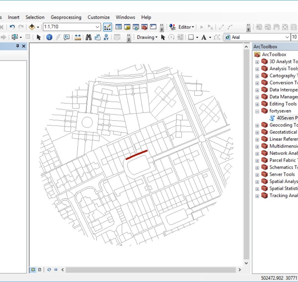
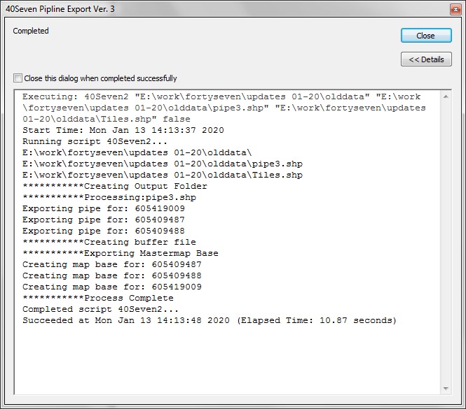
With the UK gas network spanning some 90,000 kilometres, quick access to the appropriate section of base mapping is essential. The scripting automatically clips out the required section of base mapping to match both the total length of pipe and importantly a 100 metre buffer either side of the pipe. This specification keeps file size to a minimum.
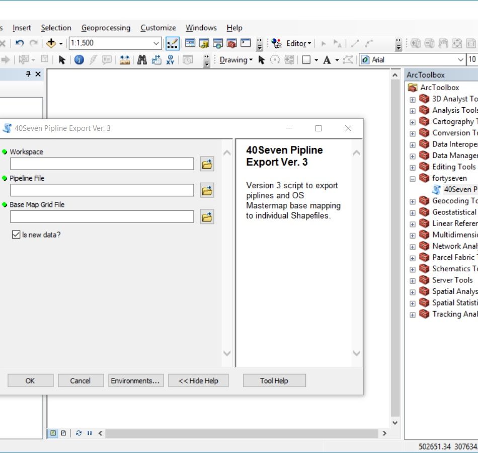
gi Perspective consulted with the IT staff at 40Seven to fully understand the complexities of the requirement. Taking sample Shapefile pipeline data and MasterMap data, the software script was written in Python and then tested by our staff in the mirrored Esri ArcGIS environment.
OS MasterMap was also converted into Esri 100km tile Geodatabases.
Result
Installation procedures and settings were provided to the client and a consultation around the most efficient means of using the script within their systems. Gi Perspective have continued to support 40Seven’s need for batched pipeline processing with updates to the script and subsequent resupplies.