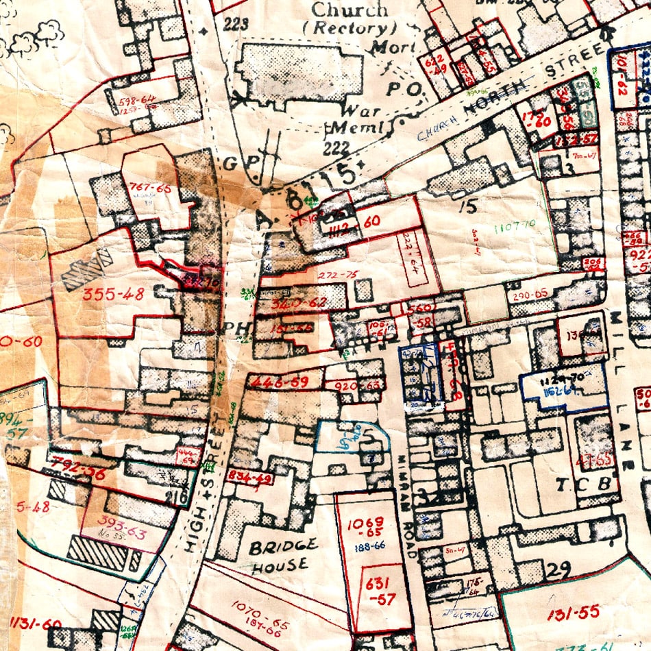
Digitising paper records
Requirement
Welwyn Hatfield Borough Council were seeking a specialist GIS data capture company to digitise historic plotting sheets, thereby providing a sustainable and efficient resource for future planning applications queries.
The 144 paper records, dating from 1948 to 1974, required the digitizing of all application boundaries and their attributes, together with a central x and y co-ordinate and supplied in Shapefile format to allow import into their GIS systems.
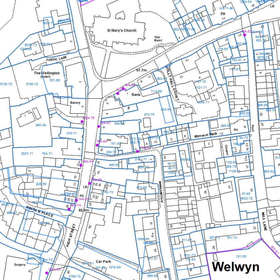
Solution
Each plotting sheet was georeferenced in ArcGIS against MasterMap Topography Layer, allowing the image to be to shifted and scaled, then if necessary rotated and stretched linearly, to allow it to be transformed into its physical location.
Each planning application was captured against the georeferenced plotting sheets, snapping boundaries to the MasterMap Topography Layer where the ground features still exist.
All polygons were attributed with the planning application number, plotting sheet number and any other miscellaneous details required. Any areas of ambiguity were quarantined as a separate GIS layer and resolved either through internal quality control or in final consultation with the client.
Result
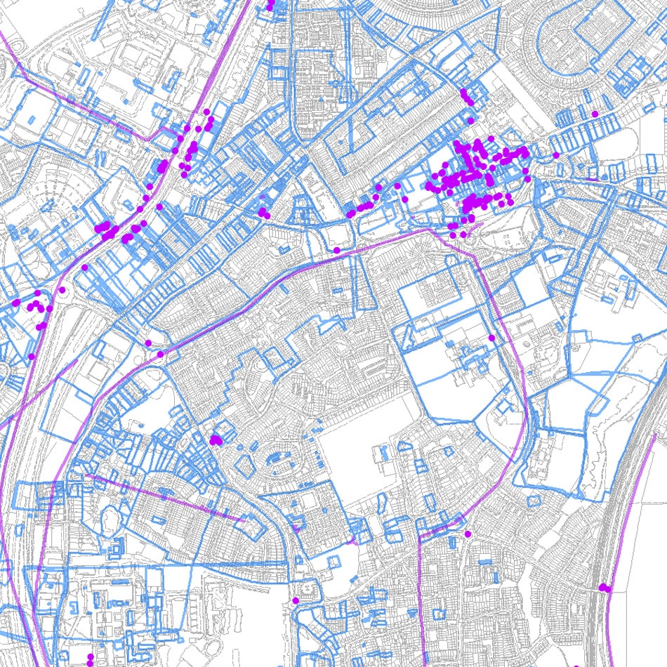
Once a suitable sample area had been sampled and approved, all data was captured and delivered within the required 8 week delivery time. The digital dataset is now used within Welwyn Hatfield Borough Council’s planning database software, saving officer time in dealing with paper records.