Requirement
The Cairngorms National Park Authority was created to ensure that the unique aspects of the National Park are cared for, sustained and enhanced. We were asked to create a GIS database from 30 Landscape Character Assessment scans.
Solution
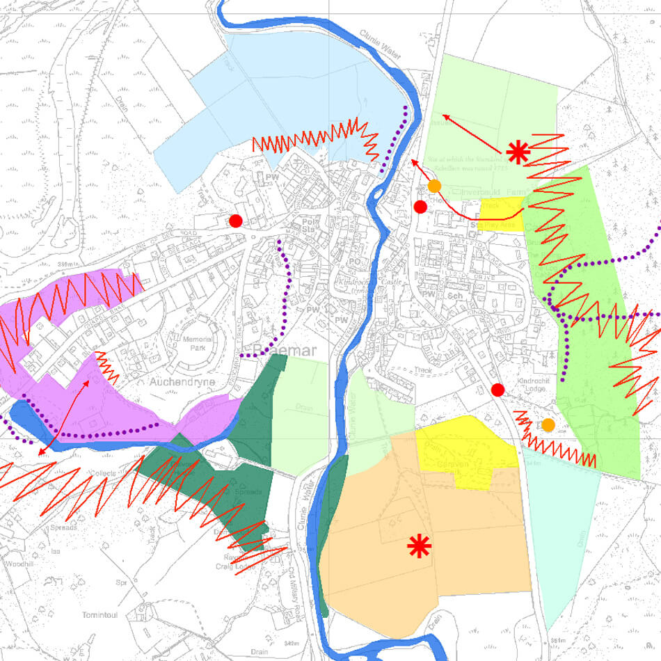
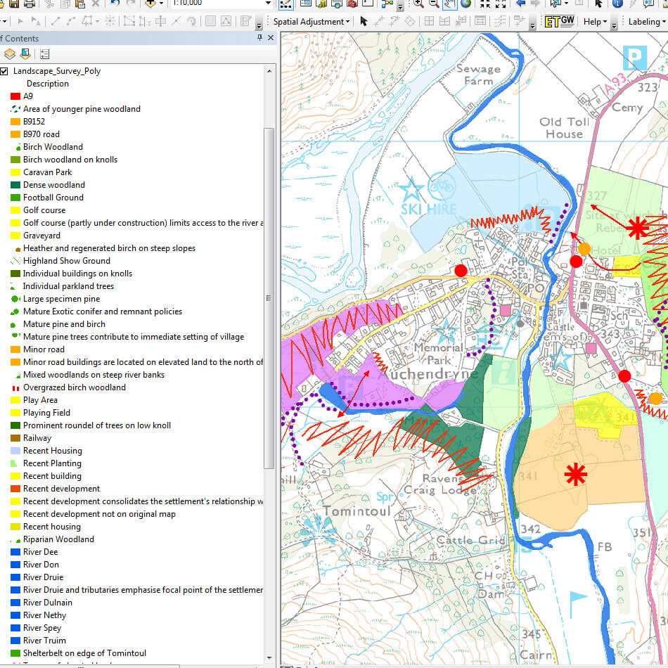
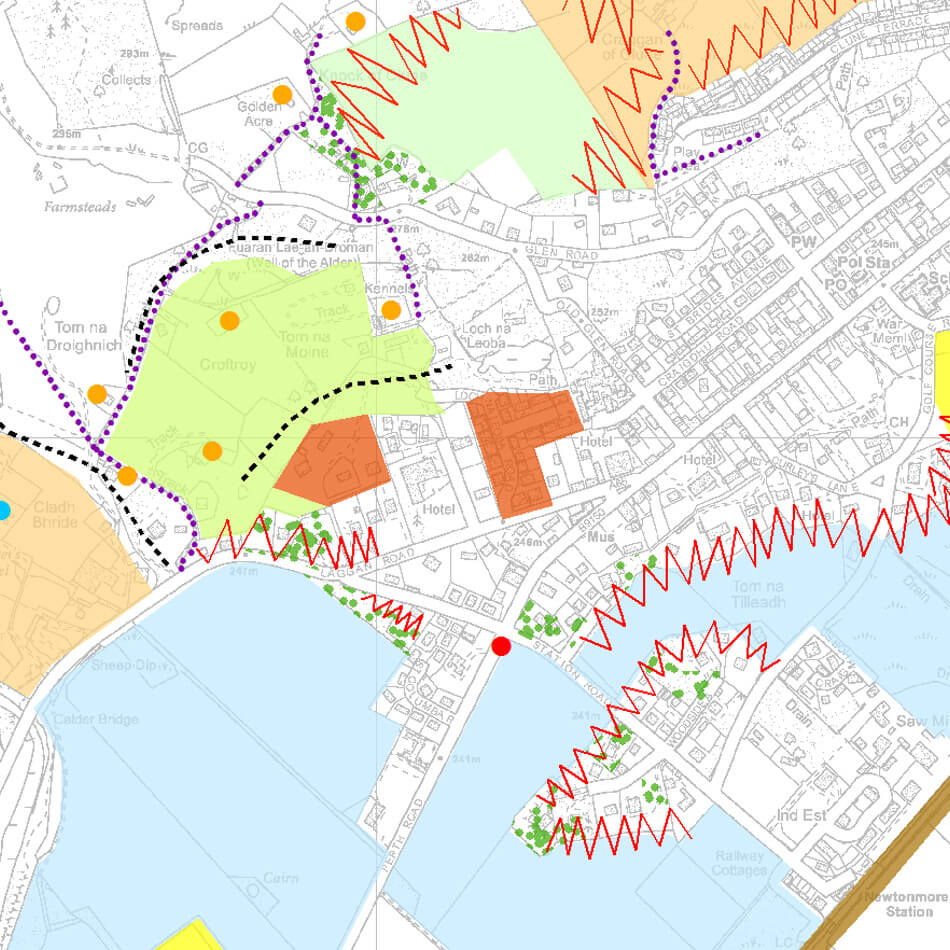
The scanned images were accurately georeferenced to Ordnance Survey data before features were digitised and made coincident with existing settlement geometry. Attributes were captured according to descriptions within the assessment, and features were styled within an ArcGIS environment. Metadata was created to record information on the process and to outline data quality.
Result
A vectorised Landscape Character Assessment GIS database was delivered complete with styled layers and metadata.


