Requirement
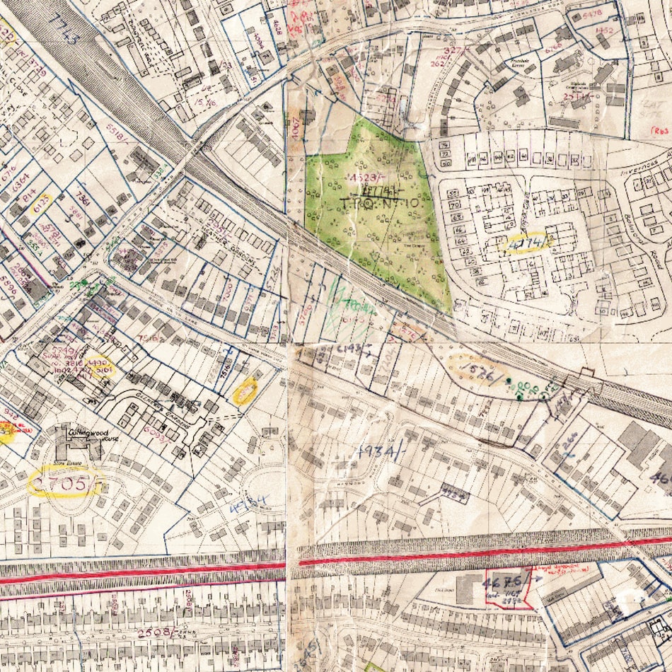
gi Perspective were approached by Fareham Borough Council to scan and geo-reference approximately 500 large scale historical map sheets and transparent overlays containing hand-written reference numbers.
Result
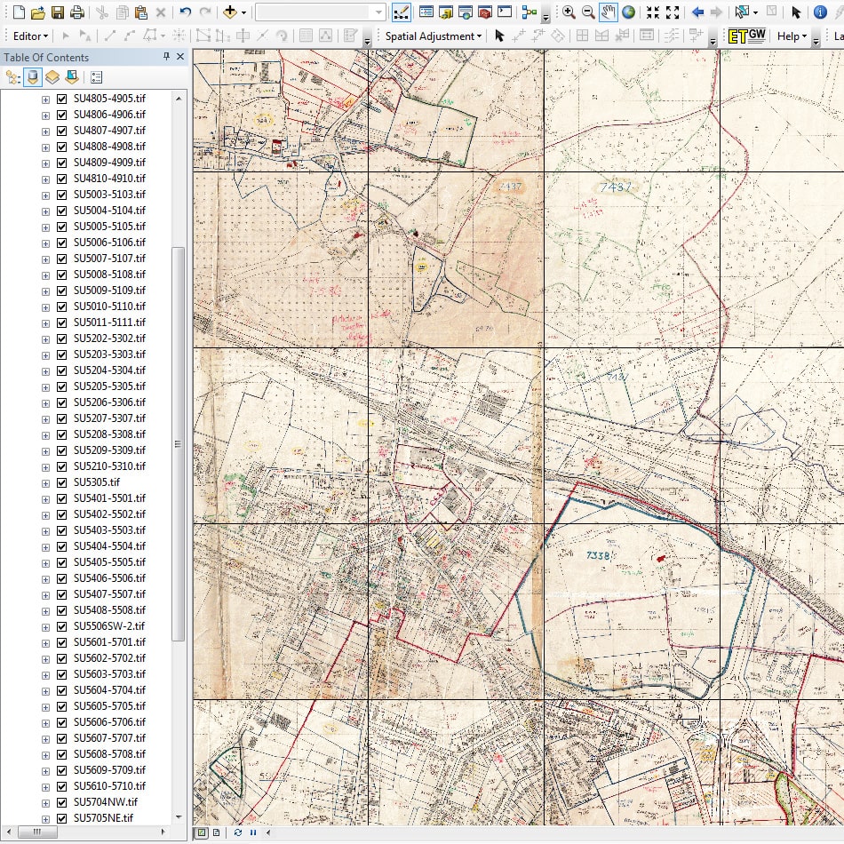
All the scanning was done on-site in one day. Each scanned image was georeferenced to the British National Grid. The images were then processed to be of the same pixel size and colour mode so a set of seamless image mosaics could be created for display in the ArcGIS Server environment.