Delivery of specific GIS data processing and transformation tasks
Requirement
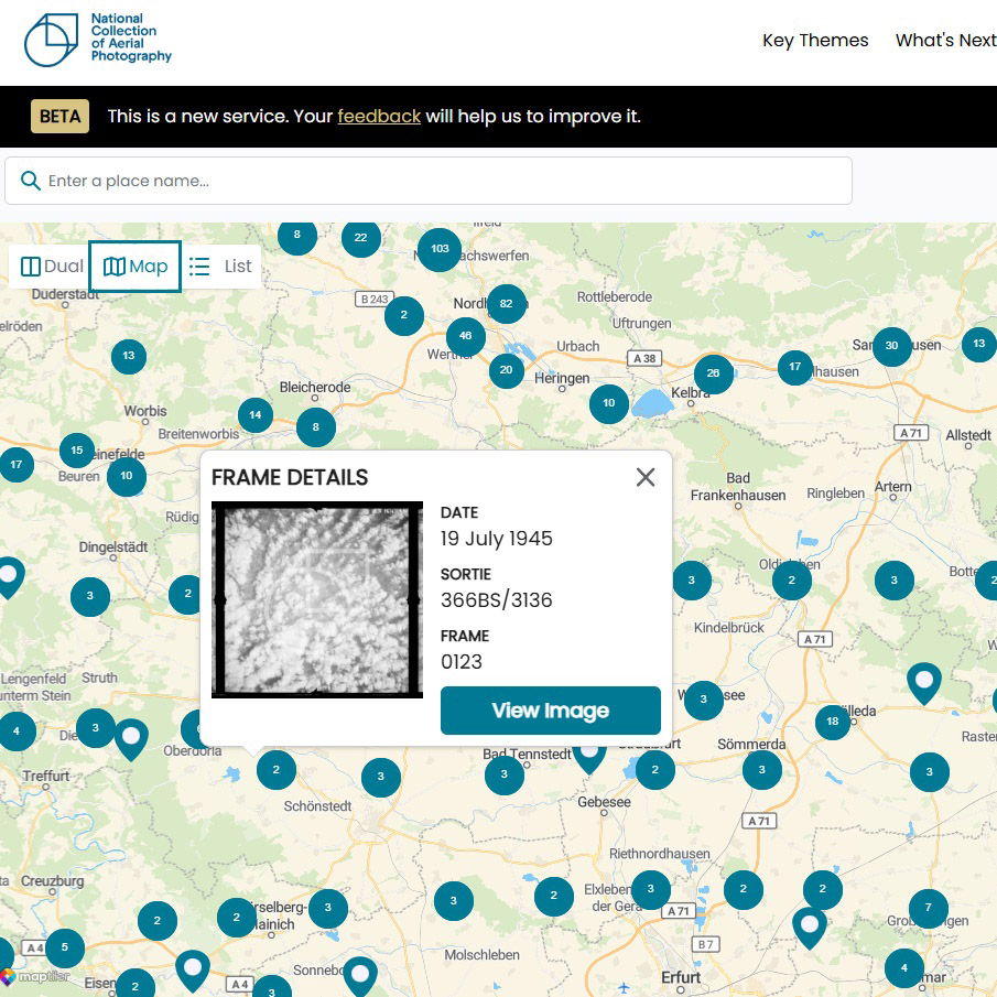
Gi Perspective was approached by Historic Environment Scotland to support the creation of grid index files for the NCAP map portal (NCAP.org), a new web-based image discovery and viewing platform.
The National Collection of Aerial Photography (NCAP) comprises over 30 million unique aerial images, representing one of the largest national aerial photography archives. To support efficient access within the new platform, a structured spatial indexing approach was required to enable improved searchability, filtering, and visualisation of imagery.
Solution
Gi Perspective was provided with a range of discrete technical datasets and requirements including comma-delimited text files, GIS layers, and spreadsheets. The work focused on the delivery of specific data processing and transformation tasks to support the wider indexing and integration workflow.
ArcGIS Pro and QGIS were used for data conversion, spatial validation, visual checks, and quality assurance of outputs, while Microsoft Excel was used extensively for data preparation and transformation.
Key activities included:
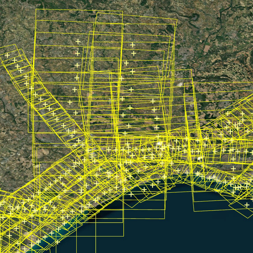
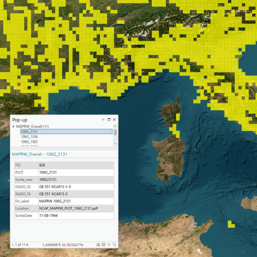
- Production of 10-minute grid mission index files derived from aerial imagery footprint datasets, supporting spatial aggregation of imagery records
- Generation of 5 km grid index datasets in both the British National Grid and Irish National Grid coordinate reference systems to support mission-level organisation from aerial photograph centroids
- Transformation of coordinate data between Degrees Minutes Seconds (DMS) and Decimal Degrees formats to ensure consistency and interoperability across datasets
- Execution of structured validation checks to ensure attribute completeness, positional accuracy, and consistency across delivered datasets
Result
Historic Environment Scotland received a set of structured and validated GIS-ready grid index datasets for integration into the NCAP image-viewing platform.
These outputs contributed to improved spatial organisation and usability of the archive within the portal, supporting faster and more efficient user access to large volumes of aerial photography through spatially enabled search and navigation.