GIS-based change comparison processing
Requirement
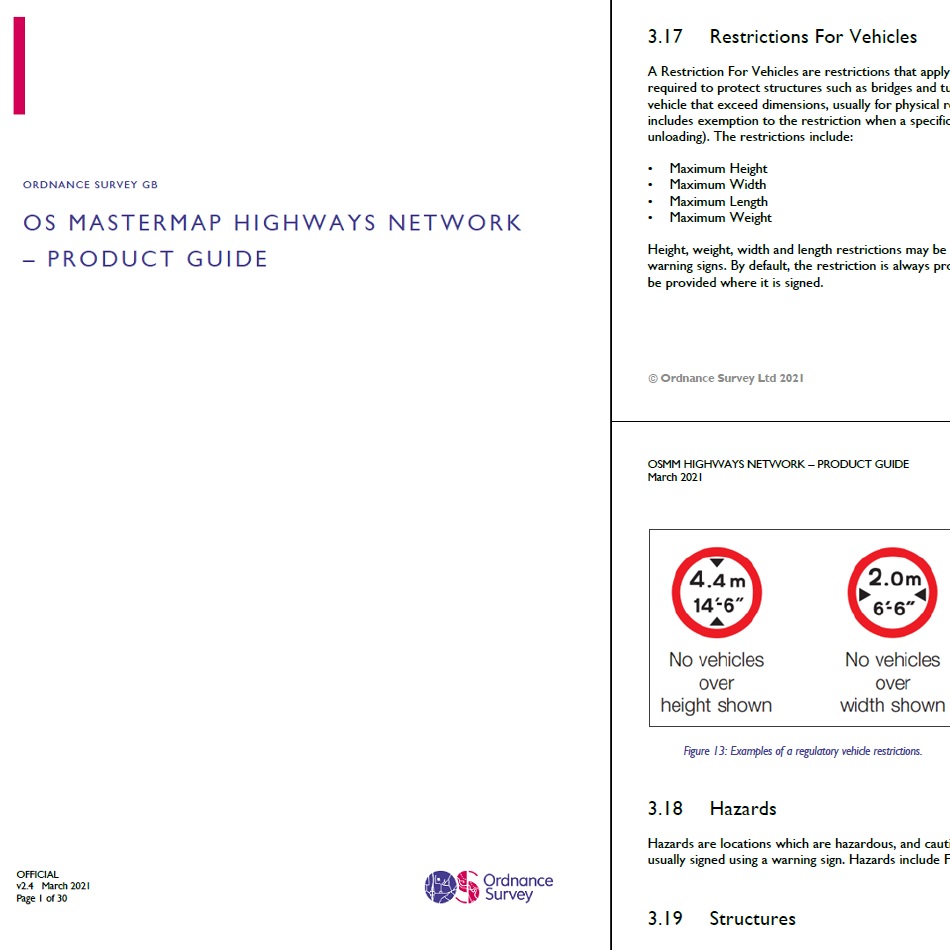
Philip’s publish specialist road atlases for truckers and caravanners, with a key feature being the thousands of bridge restrictions by height, weight or width which determine the available routes for larger vehicles. Lovell Johns is regularly tasked with updating these Atlas features.
Solution
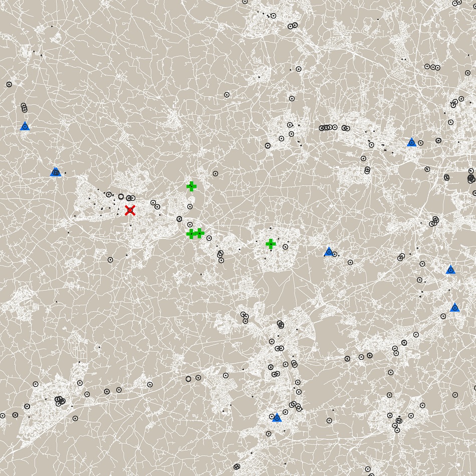
The frequent changes to height, weight & width restrictions across the road network are tracked by comparing different versions of the Ordnance Survey’s large scale Highways dataset, OS Mastermap Highways Network – Roads. A change comparison is carried out using the two versions of the Restrictions for Vehicles points. Feature IDs may change for what is essentially the same real-world feature, so a combined spatial and attribute match is needed. Editorial checks are used to identify and resolve uncertain cases, such as where the restriction point has moved from the bridge feature location to the locations of warning signs at nearby junctions. The update process identifies new and deleted restrictions or value changes in the detailed OS dataset, and applies these to the more simplified road mapping needed in a UK atlas.
Result
gi Perspective staff draw on their long experience working with road network datasets as an OS Partner organisation, delivering an effective change comparison process. Skilled Lovell Johns cartographers ensure that the restriction symbols are well positioned for clear mapping in the final road atlases. This is one reason why Philip’s continue to publish the UK’s best-selling road atlases for truckers and caravanners.


