Hosted interactive cycle map for Midlothian Council
Requirement
Midlothian Council provides a range of information on Sport and Leisure, from walking paths across the district to horse riding and cycle paths. As part of the adopted Active Travel Strategy, the Council are also seeking to encourage more active travel. The Road Safety and Policy Team contacted gi Perspective as part of a procurement exercise in 2020 with a requirement for a simple online mapping solution to provide active travel connections across the authority with links to neighbouring local authorities.
Solution
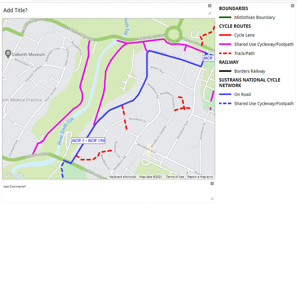
gi Perspective presented two alternative map formats for the online map; either using a custom base map, in order to give a branded look and feel or to match to an existing printed map design; or using a Google Map base map and user experience. The Google Maps solution was chosen by the client as the most practical approach for displaying multiple active travel routes.
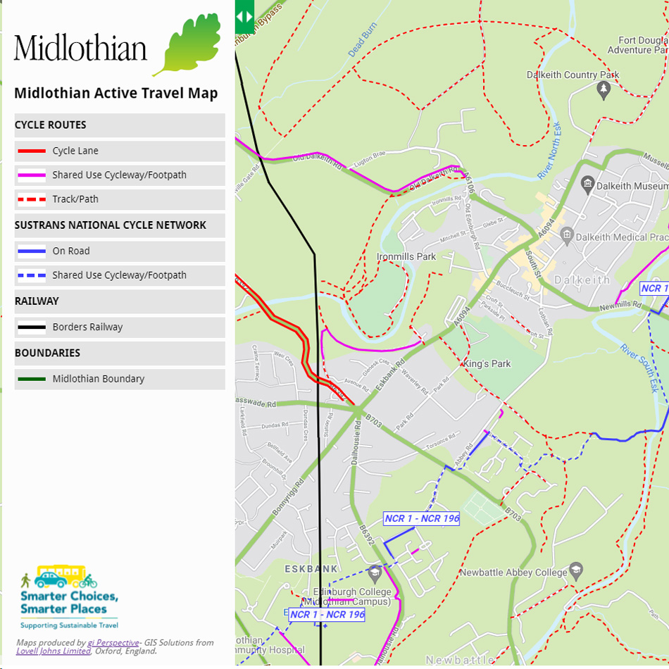
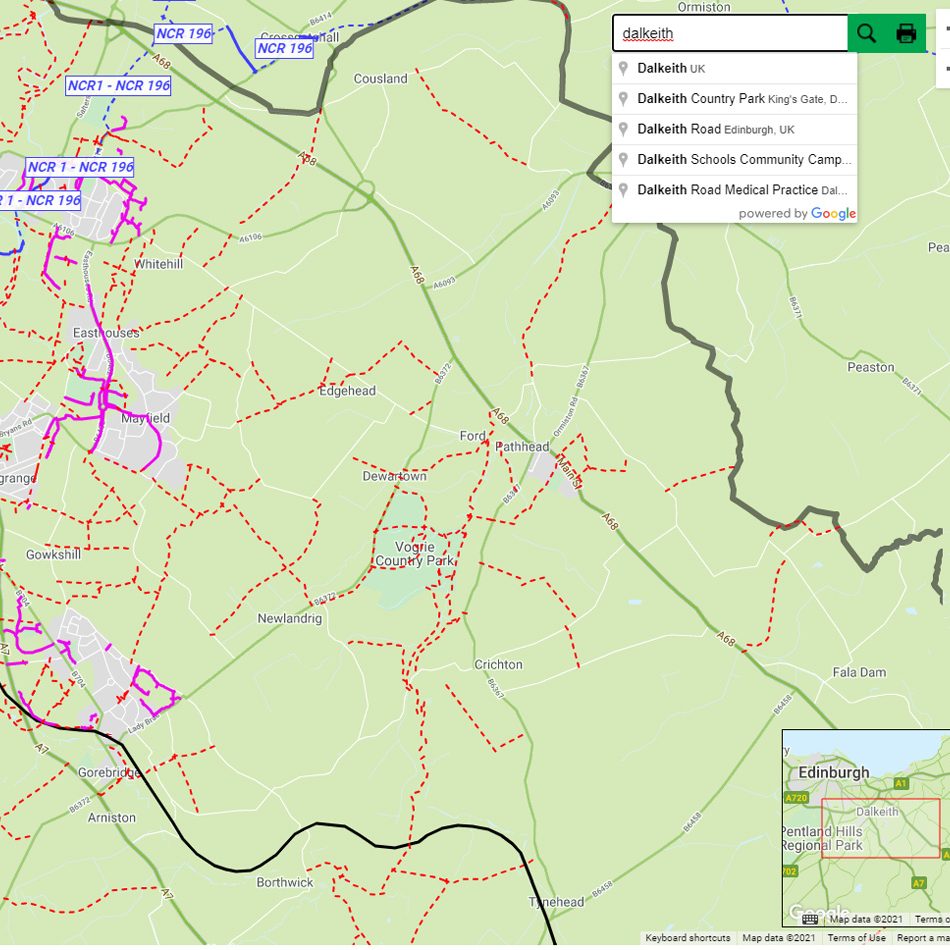
Because cycle routes were not available as GIS data, our staff digitised and classified all routes from the existing Midlothian hard copy cycle maps. The online cycle map allows the user to select all types of cycle routes or individual route types such as “Shared Use Cycle/Footpath” routes or “Sustrans National Cycle Network” routes. The Google Map search is enabled, including address-level searching. The online map also features a simple print wizard with preview and title editing.
Result
The Active Travel Map is now available on the Council Out and About page – https://www.midlothian.gov.uk/info/200226/walking_and_cycling. gi Perspective support the project for updates and maintenance through an annual Support Agreement.