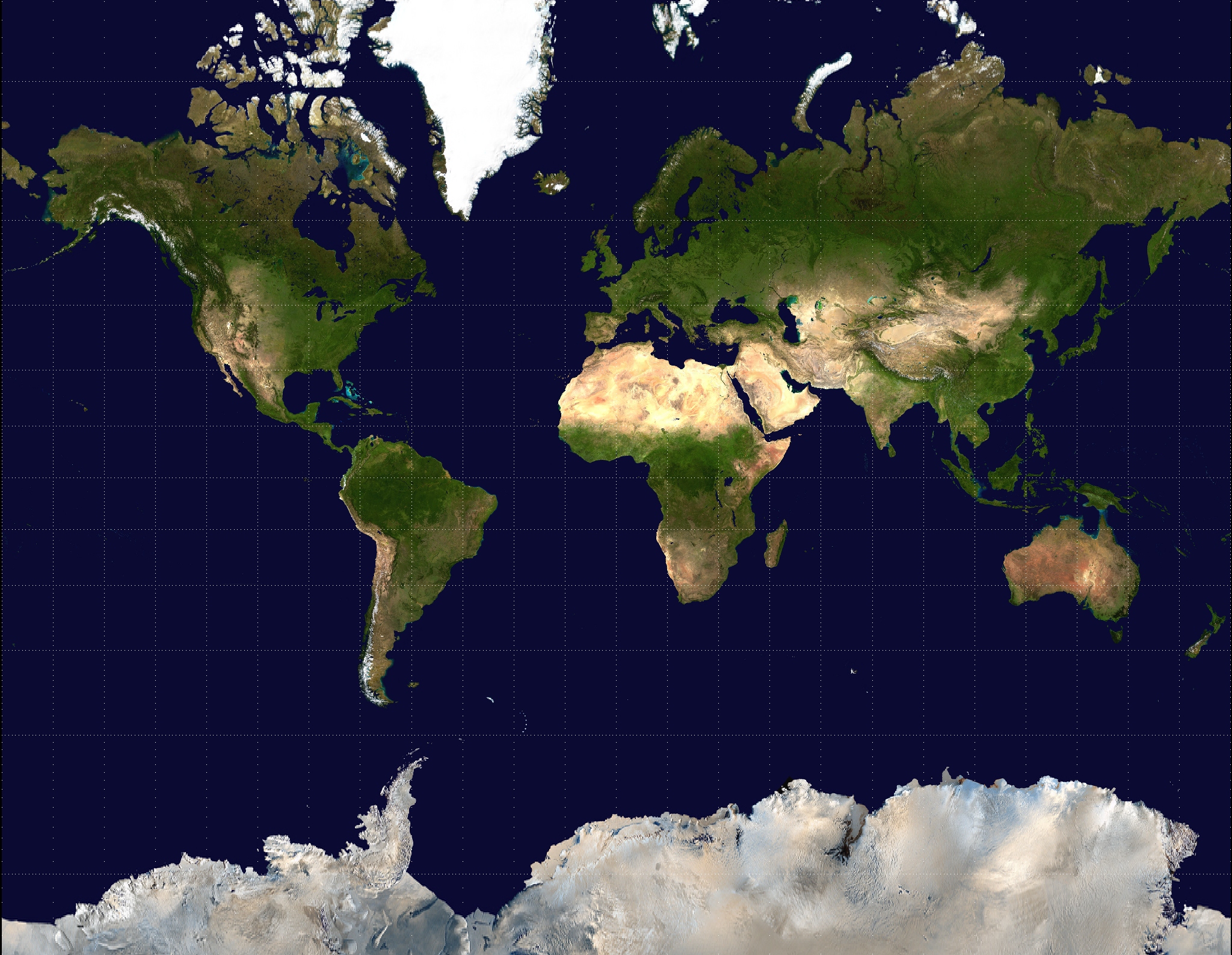
Mercator Projection
A controversial cylindrical map projection presented by Flemish geographer and cartographer Gerardus Mercator in 1569. It became the standard map projection for navigation as courses of constant bearing are straight lines. It is unpopular in cartography for making small scale maps as areas are greatly exaggerated towards the poles.
Mercator is used in interactive maps such as Google Maps, OpenStreetMap and satellite navigation applications as it represents local areas accurately as long as the scale changes dynamically with latitude. It can be used in large scale mapping such as street maps as long as the scale is not derived directly from the coordinates without further calculation.
Experts in Geographic Information Systems
gi Perspective provides organisations of all shapes and sizes with geographic information and digital mapping solutions, utilising our staff's breadth of experience to exceed customer expectations.
See our GIS Services