Requirement
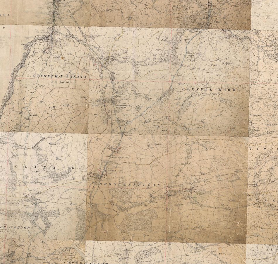
Ceredigion County Council approached gi Perspective with a requirement for GIS image manipulation expertise. With their historical records of definitive highways data as individual scanned sheets, Ceredigion wanted to have these scans georeferenced and stitched together for use in their GIS software.
Solution
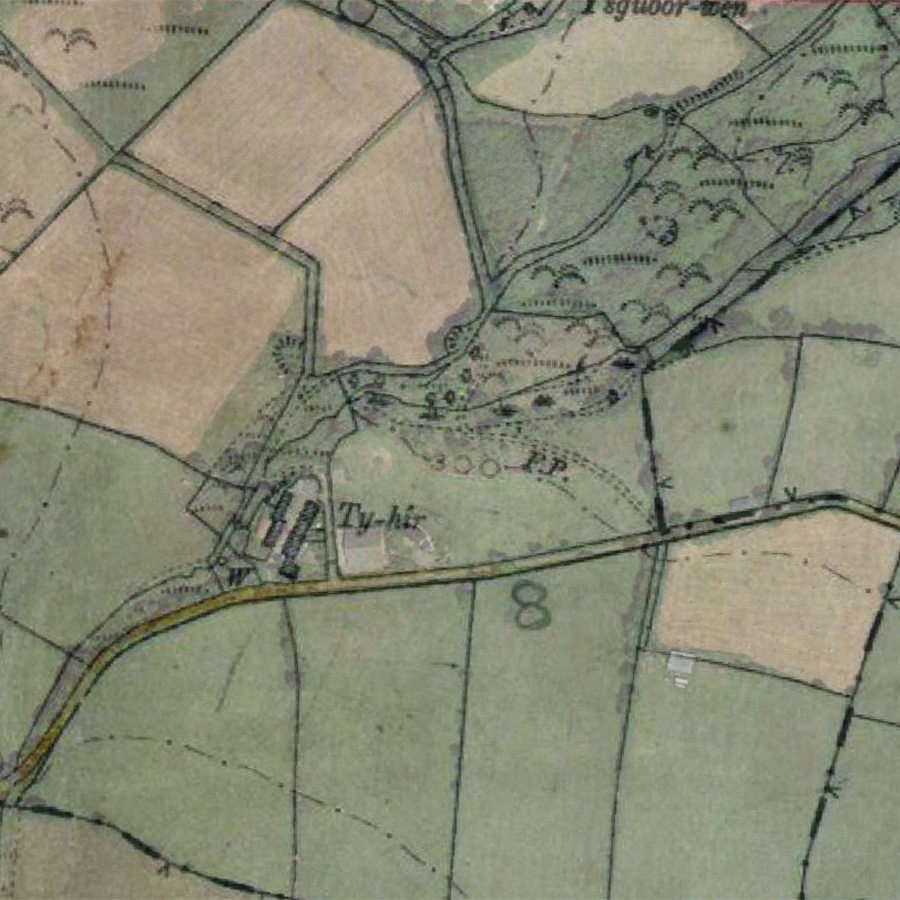
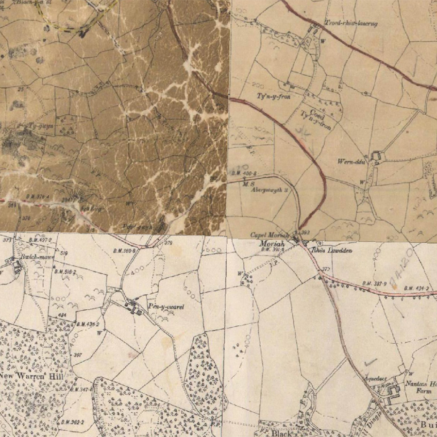
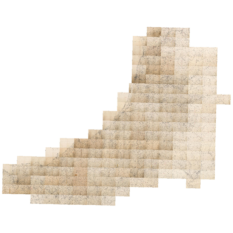
We produced an initial free sample in order to refine a method and enable a fixed quotation to be provided for bulk delivery. In total, 159 individual sheets of 1906 vintage mapping were trimmed, georeferenced and stitched together within Esri’s ArcGIS Pro. They were then combined into a single raster Geopackage file (OGC standard) with a layer definition file for use in the Council’s QGIS.
Result
The project was completed and delivered within the agreed time period.