Mapping Social Care Sufficiency across a Region
Requirement
On an annual basis, Local Authorities have a duty to understand the ‘sufficiency’ for children’s social care within their regions, requiring the recording and presentation of the number of existing placements and possible vacancies within foster care households and residential settings for children and young people. The South Central Framework, a consortium of 14 local authorities set up to support the provision of foster care across the region, approached gi Perspective with a Brief for detailed GIS Mapping of the provision of Foster Care and Children’s Residential Care.
Solution
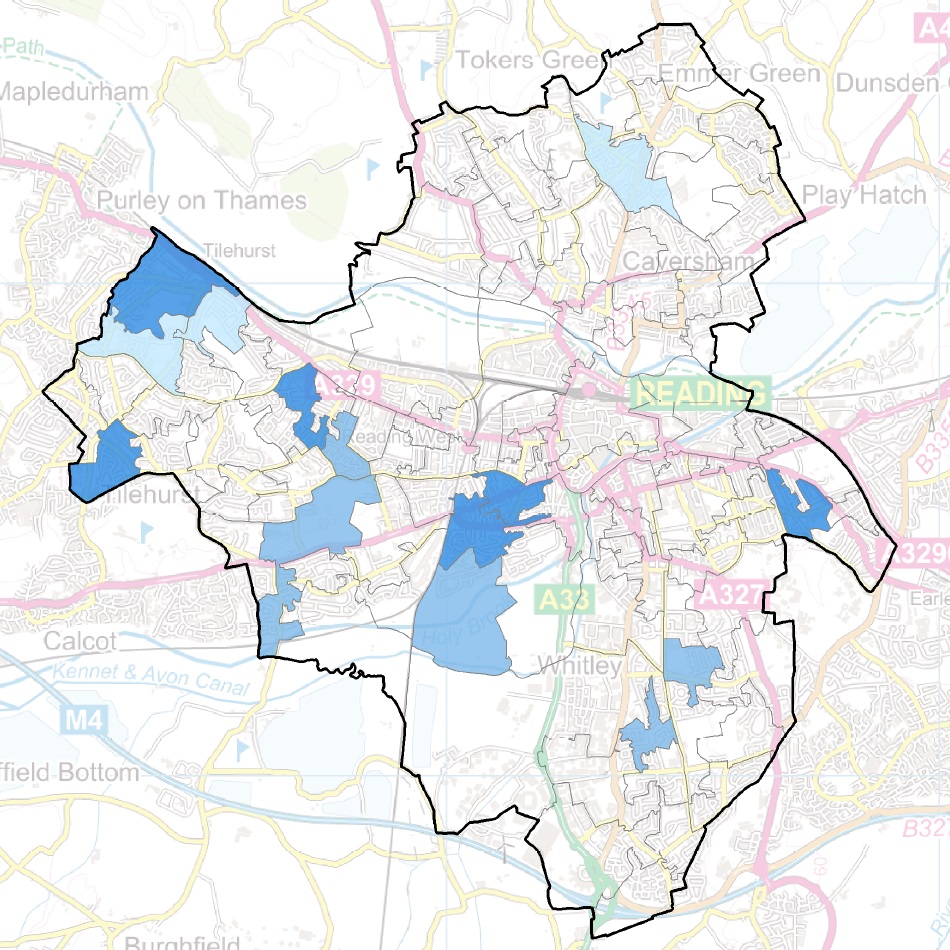
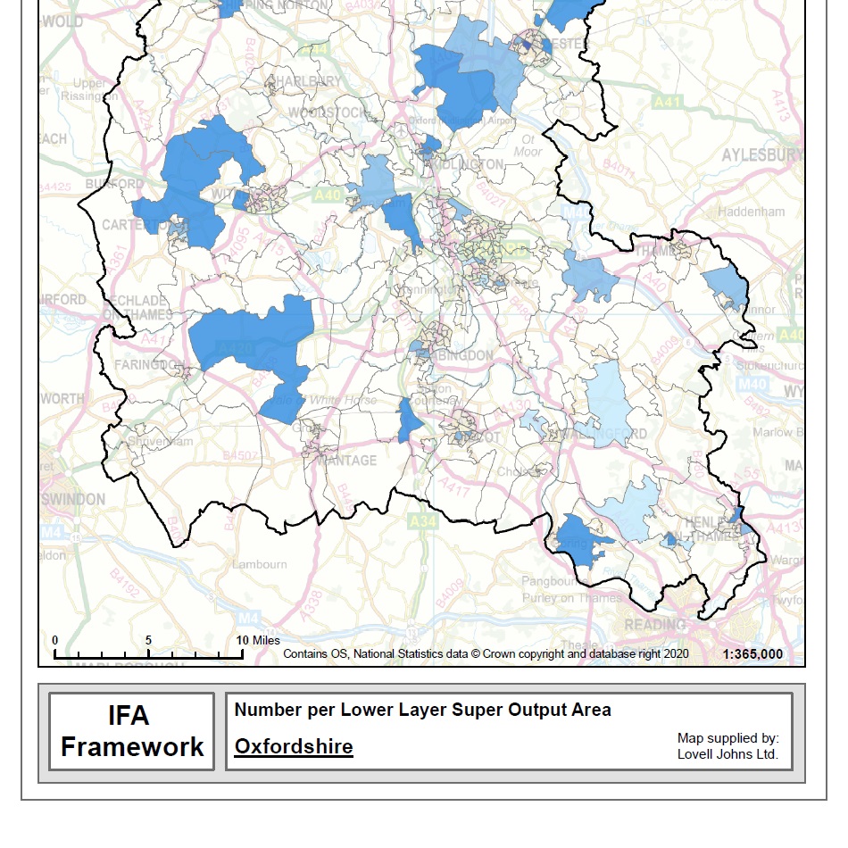
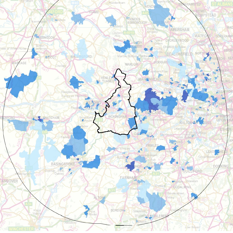
For each of the local authorities the SCF required a robust process for mapping of both placements and vacancies. Rather than use sensitive locations of homes and children on a map, a density map is used to present the available placements and vacancies per Lower Super Output Area (LSOA), which are Census geography areas covering England & Wales.
The collated data on existing placements, places and vacancies was used to quickly make two digital map series on Children’s Residential Care and Independent Fostering Agencies. High quality map templates were created in the GIS software and reviewed by the client. These were used to efficiently make maps focussed either on each Local Authority, the area within 20 miles of each Authority, or at a regional or national scale.
Use of the GIS software also made it easy to ask spatial questions of the data. The data was interrogated to produce a report on counts of placements, places and vacancies within 20 miles of each Local Authority.
Result
In total, 169 standardised maps were produced and supplied as PDFs for reporting and dissemination by SCF. Some of the maps showed regional patterns across all Consortium partners, but most were intended for the Local Authority shown. An accompanying report gave a range of metrics about the area around each Local Authority. The maps & data were easily shared with the partners as part of the annual reporting process.