Transforming geographic data to allow temporal comparison
Requirement
Specialist consultants Therapeutic Solutions (Addictions) were researching the relationship between drug-related crime and indices of deprivation and residential instability across London. The geographic codes did not match across the study datasets, as they related to different iterations of the London Ward boundaries. The study method required data for a single set of common geographic areas. gi Perspective were brought in as geographic specialists to review how the data should best be transformed to allow direct comparison over time.
Solution
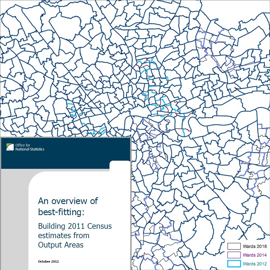
Area codes in the tabular datasets were compared against historic boundaries to establish which ward boundaries the data related to. The wards of some Boroughs were re-drawn in 2014 or 2018, and it was found that the data related to a mix of Ward boundaries established in 2018, 2014 and before 2014. Alternative methods were outlined for apportioning the old Ward data to the current Ward boundaries to give common geographic units. It was agreed that the most appropriate method used the population-weighted centroid points of the small 2011 Census Output Areas to best-fit the older data to the current Ward boundaries.
Result
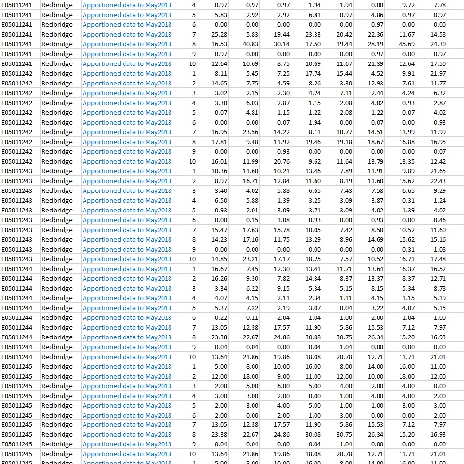
Crime counts for the amended Wards were converted to estimates for the small 2011 Output Areas, based on recent Office for National Statistics population estimates. Estimates for the current Ward areas could then be made using GIS software to sum the counts of the population-weighted centroids within each Ward. The tabular crime data was resupplied with all data transformed to use current Ward codes.


