An interactive online bus map, optimised for mobile and tablet use
Requirement
Our parent company and cartographic services provider Lovell Johns were already in contract with Milton Keynes Council, providing map-making and typesetting services for their printed Bus maps. In 2019, gi Perspective were able to offer an online version of the printed maps, presenting the same network information in an intuitive interactive website.
Solution
A Google Maps-based solution was proposed as the most practical approach for displaying multiple bus routes over the same road network. The network data from the printed maps was recaptured using a Lat Long projection for alignment with Google.
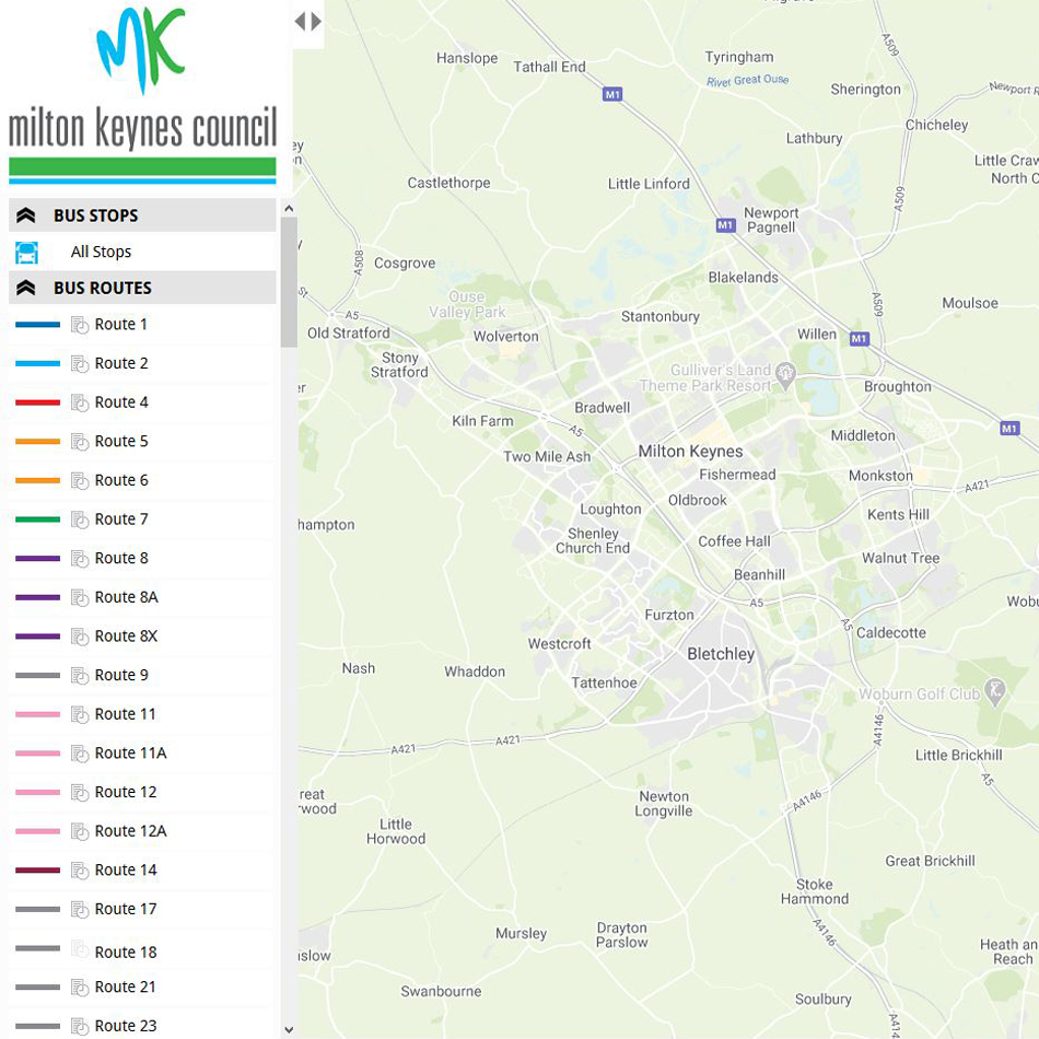
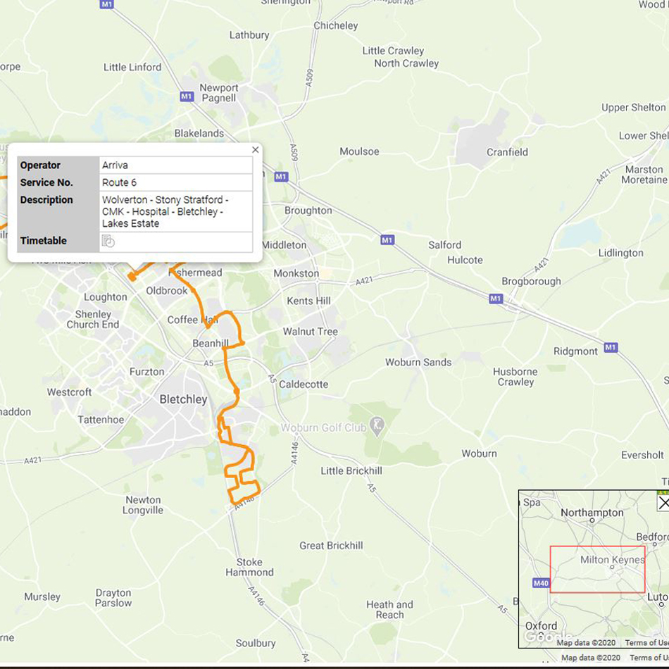
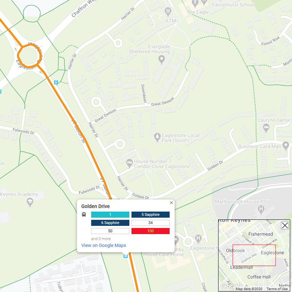
All 56 bus routes are colour-coded and referenced in a key. Individual routes can be displayed and can show the Operator, as well as link to latest timetable information as a PDF for easy download. Bus stops are also displayed with their given name for easy reference.
A separate map layer was also provided, showing a 400 metre buffer from each route and the associated population figure. This allows Milton Keynes to see the accessibility to every bus route across the region.
Result
The Milton Keynes Bus Map was completed with great success and is now available to view.
gi Perspective support the project for updates and maintenance through an annual Support Agreement.