Mobile GIS data capture using ArcGIS Online and Collector to locate and update tree information
Requirement
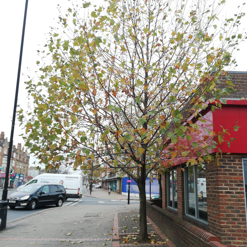
PBA Consulting are a specialist provider with 20 years experience of Tree Survey, Landscape Design and Landscape Estimating. They required assistance in the set-up and support of Esri GIS software for a contract requiring the locating and updating of tree information across London using mobile devices.
Solution
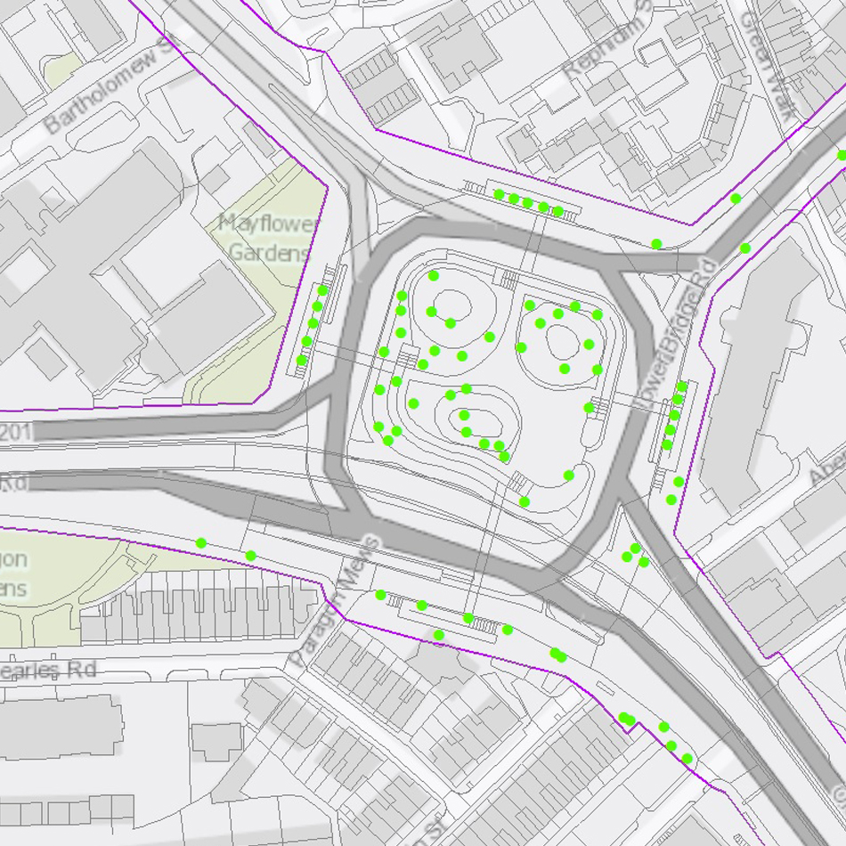
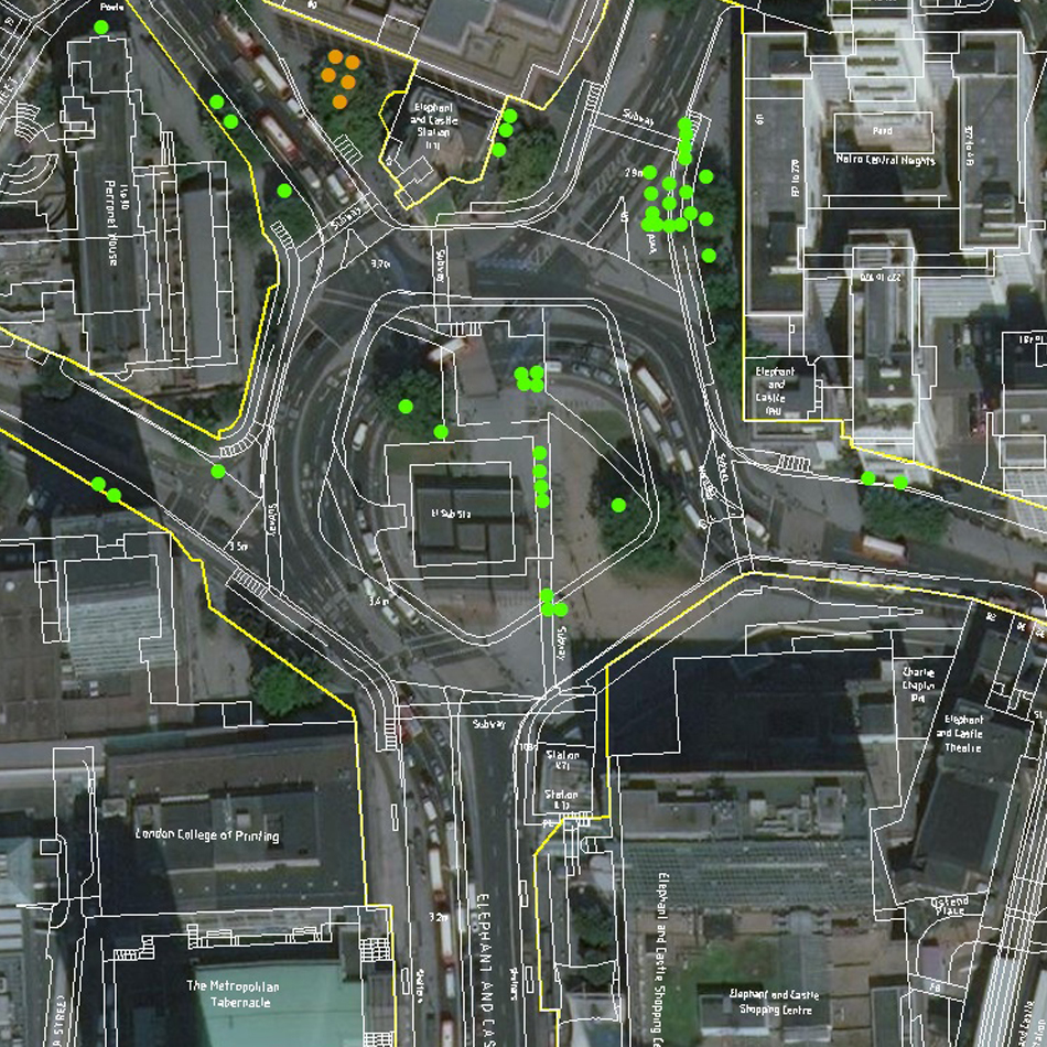
Taking the existing tree data from PBA, gi Perspective processed detailed Ordnance Survey MasterMap data and created a mapping service using ArcGIS Online. Aerial imagery was also made available. The mapping services were configured so tree data could be interrogated and updated. GPS-enabled mobile devices were set-up with the ArcGIS Collector app so surveyors in the field could locate and update the condition of each tree and recommended period of survey via the cloud. Photographs could also be attached for specific trees. Data was regularly exported to the GIS desktop environment for quality assurance
Result
As a result of the mobile-deployment of GIS, PBA Consulting were able to complete an 8 week contract to survey trees across London using multiple surveyors.