Requirement
TGC Renewables advise land owners who want to implement renewable energy technology. They held scanned maps of 33KV and 66KV power lines and substations, and required these to be digitised into a GIS database.
Solution – GIS Database Creation
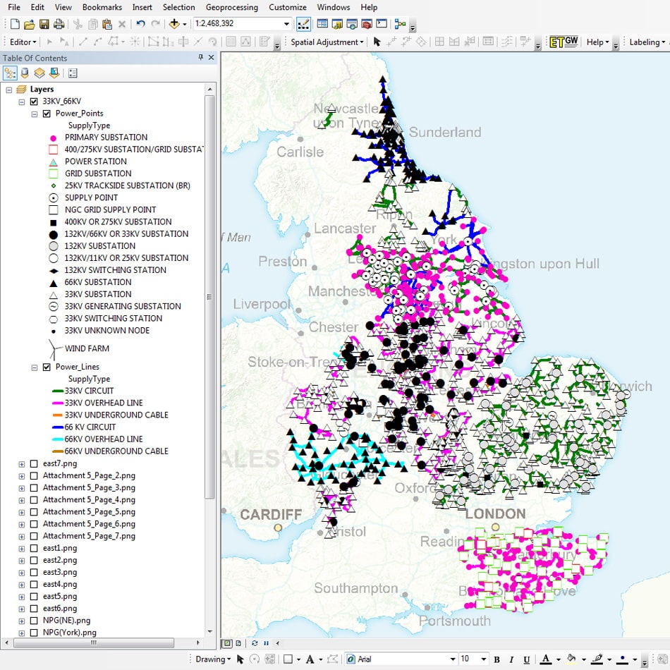
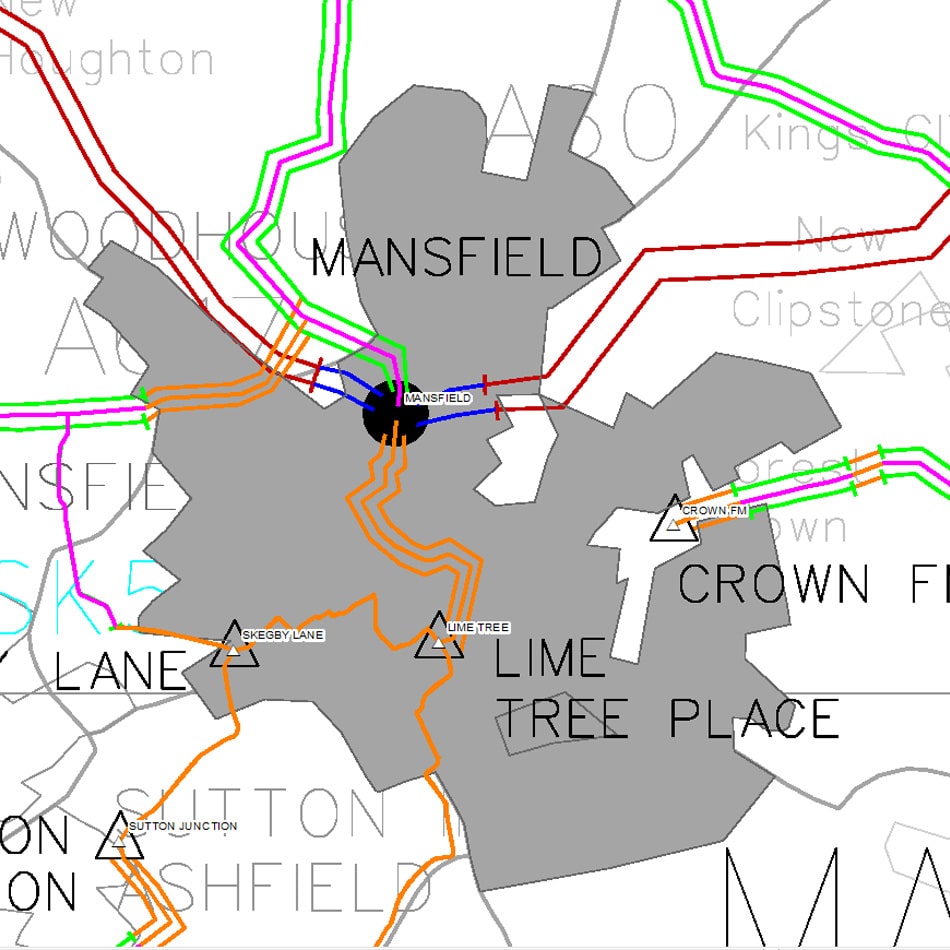
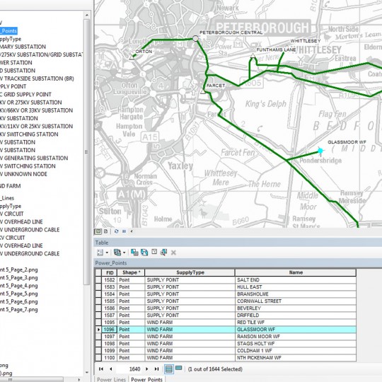
Over 6,000 power lines and substation locations were digitised into a GIS database. Network lines were snapped to ensure topological quality, and many networks were simplified for ease of use. Due to the low quality of some of the input scans, substation names were checked against copyright free sources to ensure completion and correctness. The GIS database was supplied for use in Esri’s ArcGIS Desktop software.
Result
TGC Renewables have extended their GIS reference data of the UK power network.


