Requirement
Welsh Government’s registers for common land in Wales, dating back to the Commons Registration Act 1965, were predominantly held as paper-based records, consisting of textual records and associated maps. The outdated maps and cumbersome paper records made responding to applications slow and a solution was required to develop and introduce an electronic register by Spring 2022.
Solution
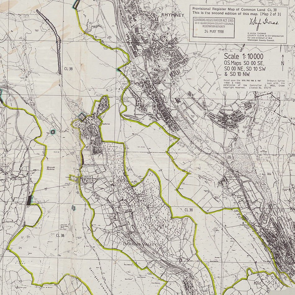
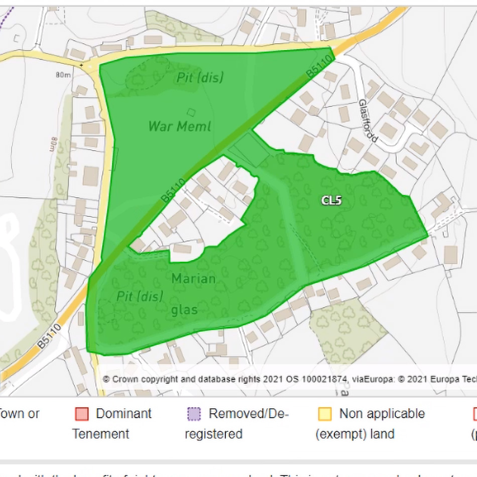
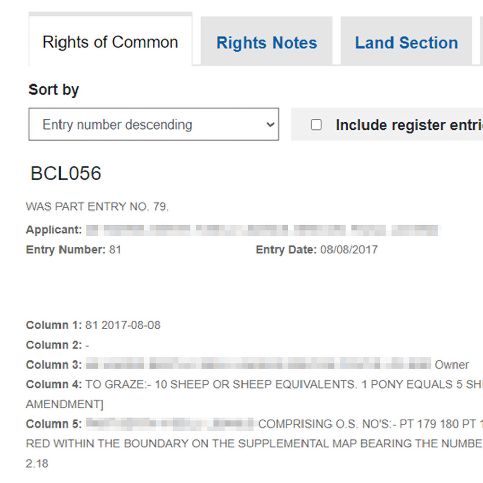
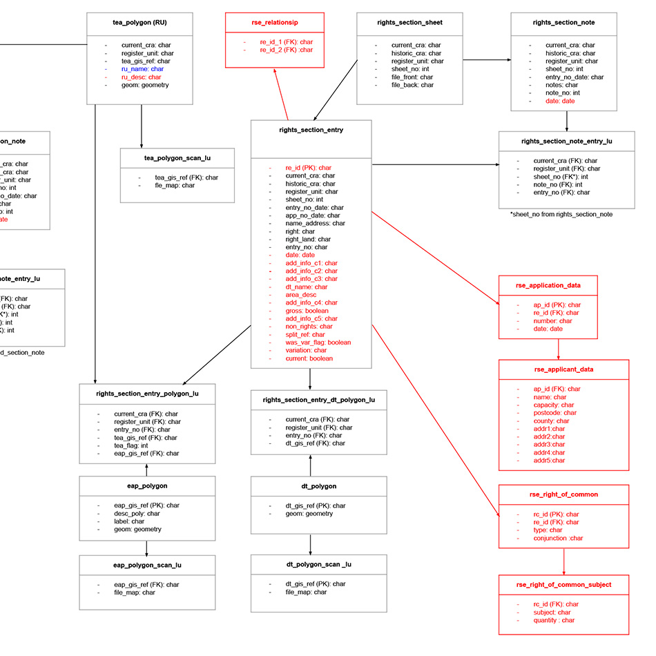
Lovell Johns’ GIS arm gi Perspective, appointed as sub-contractor to specialist software systems provider CGI, was responsible for the digitising of map-based registers for all Common Land and Town and Village Greens throughout Wales. Our team performed on-site scanning of tens of thousands of legacy paper-based Common Land registers across all 22 Welsh Local Authorities, many of which are decades old and in a fragile condition. Key map-based features and related textual records, including typed and handwritten text, were then digitised by our team. Our GIS specialists linked map-based features to the digital registers, then restructured and standardised data into a GIS enabled relational database. Additionally, some existing digital data was transformed into the same database. Various technologies were used throughout the project including ArcGIS Pro, QGIS and Microsoft Azure.
Result
The newly digitised data was handed over to CGI for design and build of custom geospatial software to enable the Public to search and browse the register content and for the Local Authorities to edit the registers online for the first time. The Welsh Government is targeting the launch of the Electronic Register in Spring 2022.