A new, unified spatial dataset and bespoke training
Requirement
Kingston University Estates Department approached us with a requirement for some bespoke GIS consultancy, to be undertaken within the Esri ArcGIS environment.
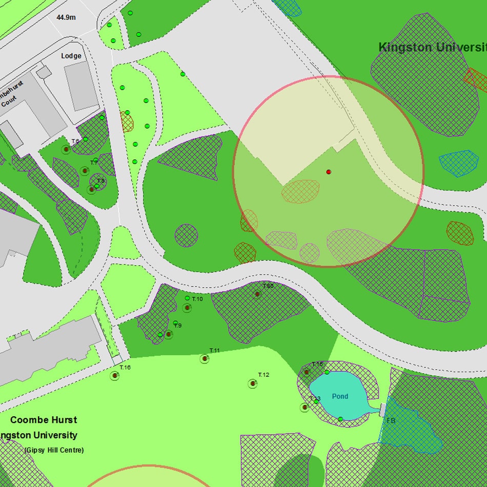
Kingston held around 140 biodiversity maps relating to the 7 University campuses, covering various flora and fauna topics such as protected species, nesting bird habitat and invasive species.
Although the maps had been created in the GIS environment, most were no longer available as native raw data and only in derived output file formats such as PDF (raster and vector) and AutoCAD.
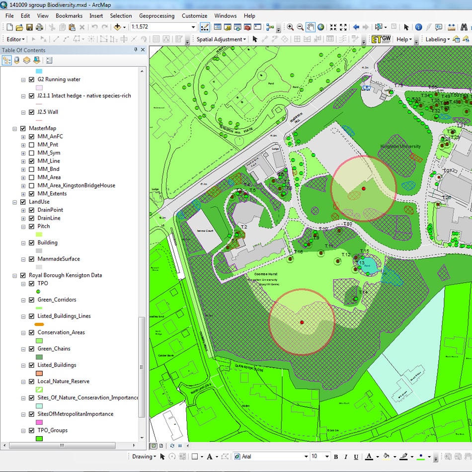
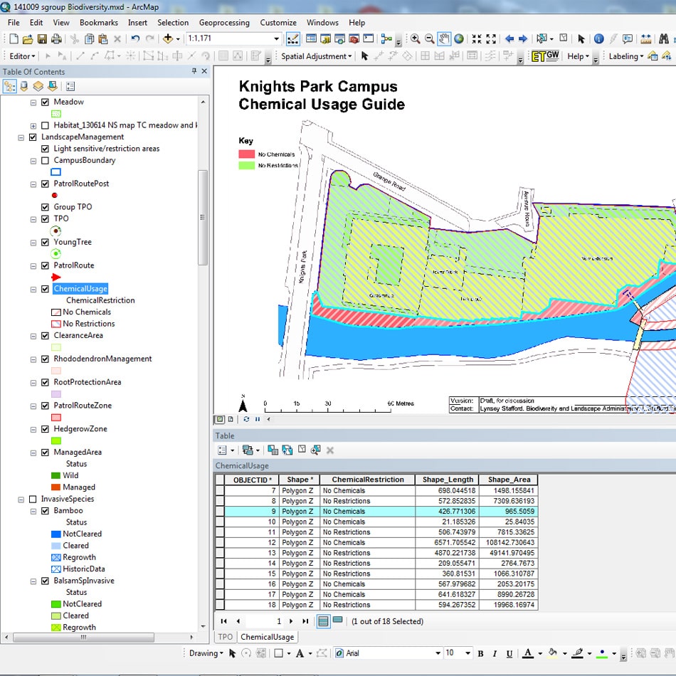
The current catalogue of maps needed collating into a single structured multi-layered GIS database to provide a definitive resource for future biodiversity map output.
Solution
The various map layers were fixed to relevant scale base mapping and a new spatial dataset created to allow a unified dataset containing individual map layers in a single Geodatabase.
Certain map features required a degree of ground truth or data verification, for example to take account of a new building development since the date of a map. GIS Layers were styled to reflect standard Phase 1 Habitat Survey Classifications.
We also provided bespoke training in the new dataset, focusing on the editing and output techniques of the specific dataset rather than a generic classroom training environment.
Result
This new dataset would allow the Biodiversity and Landscape Coordinator to produce maps for the many stakeholder groups such as Contractors, Estates Project Managers, teaching staff and students.