GIS consultancy and spatial analysis for County Council plans
Requirement
Pembrokeshire County Council commissioned a Renewable Energy Assessment to inform the local planning process. The assessment looked at both the existing provision of renewable and low carbon energy and the potential capacity in that part of the county outside the Pembrokeshire Coast National Park.
The research study was carried out by sector specialists National Energy Foundation who brought in GIS consultancy gi Perspective to carry out the spatial analysis and map creation.
Solution
- The assessment work followed the methods outlined in the Welsh Government’s Toolkit for Planners, with enhancements where necessary.
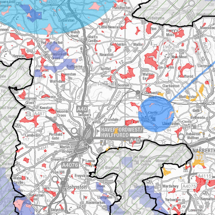
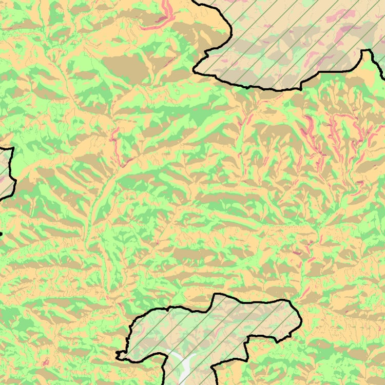
- Parts of the assessment revolved around the GIS analysis work, notably the use of constraints mapping to identify suitable available land for the deployment of low and zero carbon technologies.
- A wide range of spatial datasets were collated from Government and other organisations and checked for suitability and completeness. Clear maps were produced showing each step in the spatial analysis process.
- Map visualisations at county-wide and local scales were the main deliverable for other parts of the assessment.
- The maps were compiled in collaboration with key stakeholders.
Result
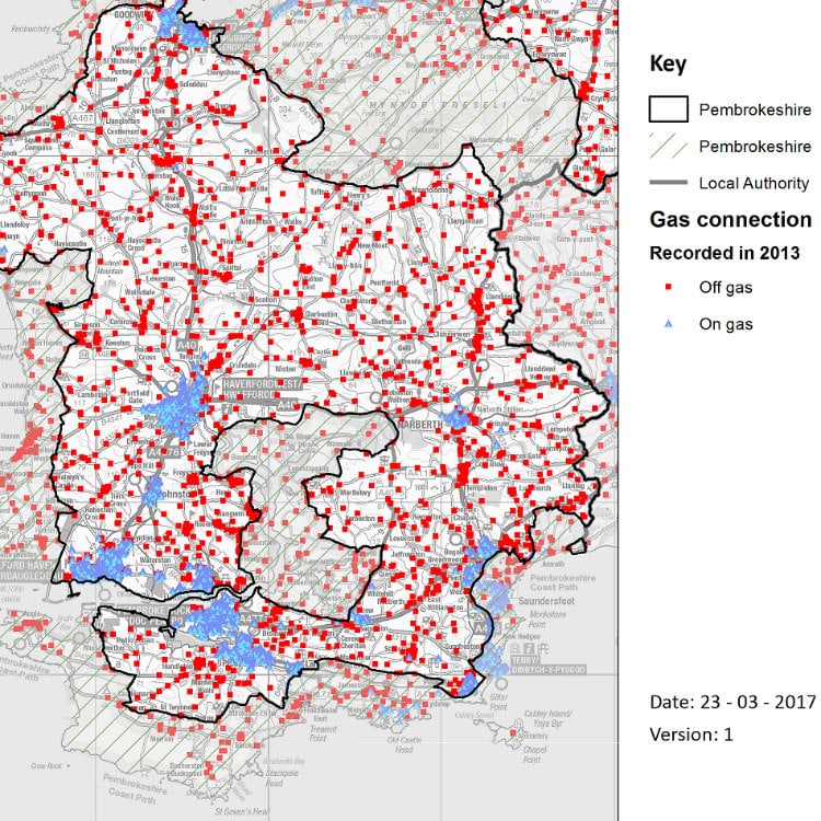
Maps were created showing the locations of existing renewable energy technologies and priority land for further development of wind, solar, biomass and other technologies.
The assessment findings, including the map outputs, were successfully presented to the client.
A final report was delivered, allowing the Council to review planning implications for renewable energy development.