GIS (Geographic Information Systems) has always integrated emerging technologies to better manage and analyse spatial data. With this in mind, we decided to review what the main talking points in GIS have been recently when comes to technology trends.
Artificial Intelligence (AI)
AI has obviously been the main talking point recently when it comes to technology. AI chat applications and image generators seem to be improving fast. This has prompted debate about the control of such technologies, ethical implications, and potential effect on the jobs market. Although such debate is nothing new, it seems to be heating up now that AI is being used in areas such as healthcare and the military. Furthermore, experts have ramped up their warnings about the impact of AI on humanity in the longer term.

ryzhi/stock.adobe.com
How is AI being integrated in GIS?
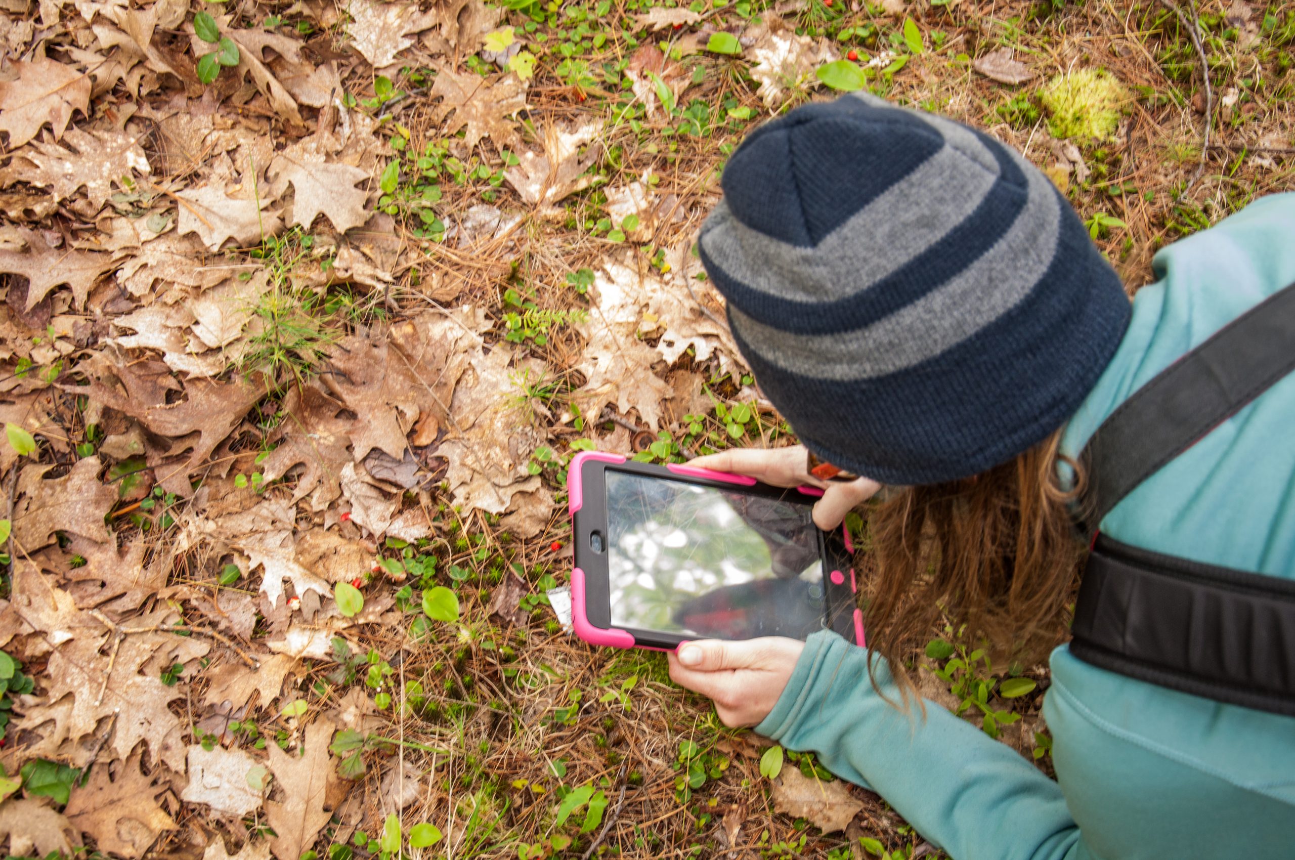
The most common areas are object detection and image classification. The ability to automatically detect features such as buildings using satellite or aerial imagery through machine learning can dramatically cut the time needed to manually digitise such features. It is also possible through AI to classify every pixel in an image dependent on its land cover type or detect changes such as deforestation. Such tools use machine learning and are well developed.
That said, the technology to date usually requires very high-resolution orthorectified imagery to work well, and that the imagery is stored locally for processing, rather than taking advantage of online resources. This means that although there are tools readily available, currently there are significant cost factors to weigh-up before delving into the world of AI object detection and image classification in GIS.
Other areas where AI use in GIS is becoming increasingly common is route optimisation and predictive modelling, although these tend to me more industry specific. AI code generation also seems to be a hot topic on social media of late – with GIS specific examples of using machine learning to write code just from a description of what the code should do. Definitely an area to keep an eye on.
Citizen Science
Citizen science allows collaboration between scientists and interested members of the public, allowing the people to voluntarily contribute towards scientific research. This might be, for instance, recognising new forest roads on satellite imagery, or outdoor activities such as spotting rare species or gauging light pollution. Findings are then reported on a web portal or a mobile app. Often such projects will have location data at their heart and the output an invaluable GIS resource for the scientists involved. Using large numbers of citizens to contribute to such GIS projects can bring enormous resource and energy to a project compared to a lone Project Officer or small team.
Kate Wilcox/stock.adobe.com
Is the use of Citizen Science increasing?
According to the Wiley Online Library, the number of citizen science articles published per year is estimated to reach 2000 by 2026. This is compared to around 250 in 2014 and 1000 in 2020. Zooniverse, the world’s largest platform for people-powered research, now boasts 1.6 million registered users.
Augmented Reality (AR)
AR has been around for some time, with many smartphone apps using AR to overlay digital spatial content over real world views. Who can forget the Pokemon Go craze way back in 2016? Apple have re-energised the AR space with its announcement of the launch of the Apple Vision Pro from 2024, where 3D digital media is integrated with the real world through a headset. Whether such devices will become mainstream is yet to be seen, but AR is certainly here to stay.

yalcinsonat/stock.adobe.com
Is augmented reality being used in GIS?
GIS is slowly adopting AR to conceptualise the real world, with utilities being one of the areas at the forefront of development. The vGIS Utilities system for instance, helps visualise underground pipes and cables in their true position using a tablet or headset. Accurate 3D GIS data is of course key to the success of such systems, but many organisations and departments will already have such data. A planned new skyscraper for instance can be simulated in 3D in the real world, complimenting existing physical or digital 3D representations.
In summary, the future of GIS is certainly exciting as it continuous to leverage emerging technologies and increase the collection and use of spatial data through easy-to-use applications.
Comments are closed here.