Ordnance Survey (OS)
The Ordnance Survey (OS) is the national mapping agency for Great Britain. Northern Ireland has its own separate mapping agency called the Ordnance Survey of Northern Ireland (OSNI).
The Ordnance Survey has military roots and was officially founded in 1791. The oldest large-scale maps date from the late 1800s. Most people know them for their bestselling Landranger and Explorer printed maps widely used in outdoor activities, however they also publish many digital products for use in GIS and interactive mapping websites and mobile applications.
What digital data is available from the Ordnance Survey?
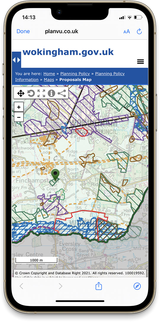
Their flagship product is the MasterMap Topography Layer, a large-scale digital map of Great Britain showing features such as buildings, roads and field boundaries. It is widely used by Local Government, utilities companies, emergency services and many others.
Other digital products contain detailed data for highways and addresses. Much of their data is available to be used by website and mobile apps using APIs (Application Programming Interfaces), a software intermediary allowing applications to access maps and location data served by the OS directly.
Is Ordnance Survey data free?
The OS make some less detailed digital mapping products available for free and allow access to generalised locations to key features found in OS MasterMap, either via download or through their OS Data Hub.
What is the Public Sector Geospatial Agreement (PSGA)?
Public Sector organisations in England and Wales can gain access to a wide range of Ordnance Survey products and services (including the MasterMap Topography Layer) through the PSGA. Qualifying organisations include central and local government, parish councils and health organisations.
Experts in Geographic Information Systems
gi Perspective provides organisations of all shapes and sizes with geographic information and digital mapping solutions, utilising our staff's breadth of experience to exceed customer expectations.
See our GIS Services
