OpenStreetMap (OSM)
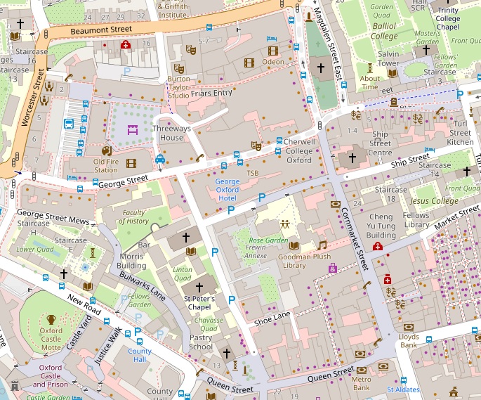
OpenStreetMap is a wiki-style collaborative project to create a free editable map of the world. It is released with an open-content license. Its data can be used for free in mapping applications or for analysis.
OpenStreetMap has a consistent tagging system (with some regional variations). As the map features are based on GPS coordinates or captured over satellite imagery, they are typically accurate to under 10m.
Unlike mapping from an official agency such as the Ordnance Survey, the content and currency of the mapping varies. However, most areas in OpenStreetMap are now surprisingly good and its maps are used in many applications related to navigation, outdoor activities, travel planning, weather and even games.
Experts in Geographic Information Systems
gi Perspective provides organisations of all shapes and sizes with geographic information and digital mapping solutions, utilising our staff's breadth of experience to exceed customer expectations.
See our GIS Services