OpenLayers
OpenLayers is an open-source JavaScript library for displaying map data in interactive maps. It is fast and mobile friendly.
What is OpenLayers used for?
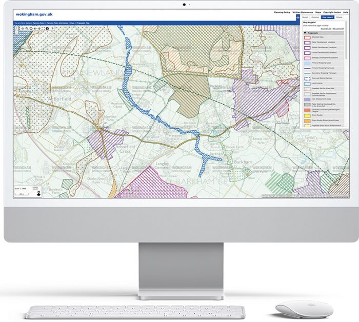
OpenLayers can be used to present both tiled and vector mapping layers together on interactive maps. It is flexible at bring in mapping layers from different sources and can re-project maps from different coordinate systems. It has a wide range of functionality that can be configured, including the ability to create and edit shapes over the base mapping.
Are there any alternatives to OpenLayers?
Leaflet offers an alternative to OpenLayers. Leaflet is generally seen as simpler and more lightweight, but as having less flexibility and functionality.
Experts in Geographic Information Systems
gi Perspective provides organisations of all shapes and sizes with geographic information and digital mapping solutions, utilising our staff's breadth of experience to exceed customer expectations.
See our GIS Services