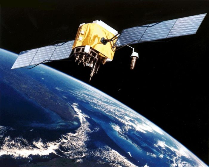
Global Positioning System (GPS)
Global Positioning System (GPS) is a satellite-based radio navigation system. A GPS receiver can be used to determine an accurate location and precise time which can be used in navigation and tracking devices. It is owned by the United States and is made up of at least 24 satellites.
How many GPS satellites are required to get a location?
The signal from 3 satellites are required to give a two dimensional location (latitude and longitude). A fourth satellite is required to determine altitude.
Is GPS accurate?
The accuracy of GPS largely depends on the receiver as well as other factors such as atmospheric conditions. Most devices are typically accurate to about 5 metres. Car navigation systems will ‘snap’ the location to the nearest road. For applications such as land surveying, much higher accuracy can be achieved by using techniques which use multiple GPS receivers.
Was GPS designed by the military?
GPS was originally designed for US military use. Initially, the publicly available signal was given a significant variable error so it was impossible to get a live accurate location. A second error-free signal was available for the US military and its allies. In 2000, the accurate signal was made available to all to allow new technologies such as satellite navigation to become possible.
Are there other GPS systems?
There are several other global satellite navigation systems. These are owned and operated by China, Russia and the European Union. India and Japan also have regional navigation systems.
Experts in Geographic Information Systems
gi Perspective provides organisations of all shapes and sizes with geographic information and digital mapping solutions, utilising our staff's breadth of experience to exceed customer expectations.
See our GIS Services