Building the Green Layer of a Garden City
A 21st century garden city is more than a collection of homes, parks and tree lined streets. It is a living system of green infrastructure that must be planned, monitored and cared for over time. Increasingly, that system is underpinned by GIS.
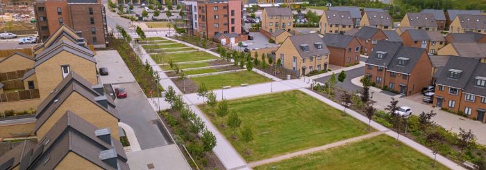 Image courtesy of Ebbsfleet Development Corporation
When Ebbsfleet Development Corporation set out to create an interactive digital map for residents, they commissioned
gi Perspective to bring their vision to life. The goal went beyond simple wayfinding: to help people locate nature, understand the quality of their environment and actively contribute to its care.
A Public Window into Green Infrastructure
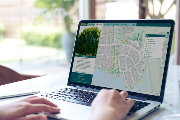
The result was GREENmap, a unified platform built using ArcGIS Online and apps including ArcGIS Experience Builder, Survey123 and ArcGIS StoryMaps.
Farknot Architect/stock.adobe.com
At the surface level, GREENmap enables residents to explore habitats, sustainable drainage systems, allotments and individual trees across Ebbsfleet Garden City. Tree locations and species have been digitised and linked to photographs for easy identification. Location based surveys allow users to record wildlife sightings, suggest new tree planting and report issues directly from their mobile devices. Behind the scenes, a streamlined workflow allows submitted information to be reviewed and verified before being incorporated into the wider dataset.
The platform is intuitive and accessible, yet grounded in robust spatial data management. It gives residents confidence that their contributions matter and that environmental information is credible.
Supporting Biodiversity Net Gain and Long Term Planning
However, the public interface tells only part of the story.
In modern master planned communities, GIS forms the green layer of the city. The same spatial framework that supports a resident identifying a tree species can also underpin active travel networks, strategic open space planning and habitat connectivity. It provides the structure needed to assess and monitor biodiversity net gain, ensuring that development leaves the natural environment measurably better over time.
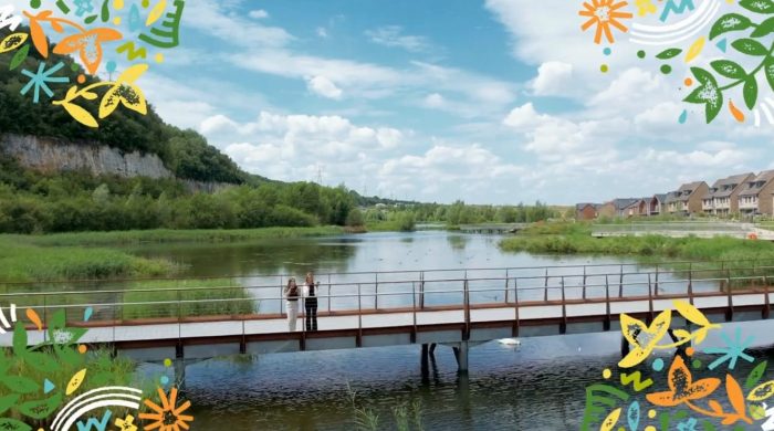 Image courtesy of Ebbsfleet Development Corporation
By structuring environmental data within a single spatial ecosystem, development corporations and local authorities move beyond static masterplans. They gain a dynamic understanding of how natural assets interact with transport routes, public spaces and neighbourhood growth. This spatial intelligence supports evidence based decision making, long term stewardship and transparent reporting against environmental objectives.
From Awareness to Stewardship
GREENmap demonstrates how the community facing element of this system can strengthen stewardship. When residents can see, explore and contribute to environmental data, green infrastructure becomes tangible. It shifts from being background scenery to shared responsibility.
For organisations delivering new settlements, GIS is no longer just a mapping tool. It is environmental infrastructure. It connects design intent with long term management, supports biodiversity net gain ambitions and brings residents into the conversation. In a true garden city, the green layer must be visible, measurable and actively managed. Spatial technology makes that possible.
Comments are closed here.